What is recorded here
Located on level ground at the bottom of a N-facing slope. Archaeological testing (06E1231) by A. Collins (2008, 15) in advance of a realignment of the R158 road identified archaeological features that were subsequently excavated (07E0164) as Site 2 by the same archaeologist (excavations.ie 2007:1393). This is a small circular area (int. diam. 3.5m; ext. diam. 5.5-6m) defined by a rounded ditch (max. Wth 1.1m; max. D 0.6m). The ditch had six fills including silts at the base while orange-brown sandy clays with moderate inclusions of charcoal, burnt bone and pebbles occupied most of the ditch. There were two lenses of black charcoal-rich clay with burnt bone within the ditch. The burnt human bone was from at least one young individual of indeterminate sex, and a red sandstone bead was recovered from the topmost fill. There was a single stakehole at NE, and a shallow pit (diam. 0.74m; D 0.4m) inside the W edge of the ditch was filled with an orange – brown silty clay, but no artefacts or bone was recovered from it. An E-W ditch clips the N edge of the ring-ditch and is possibly early medieval in date but a large NW-SE ditch through the centre produced modern artefacts. A sample from one of the dark lenses in the barrow’s ditch produced a C14 date of 360-50 cal. BC, while a sample from the topmost fill yielded a date of 180 cal. BC – 10 cal. AD. (Collins 2009)
Compiled by: Michael Moore
Date of upload: 29 June 2021
The monument record does not grant public access. Check the route and ask the landowner before entering private land.
- What survives
- Recorded monument
Places near here
 Enclosure in Summerhill DemesneEnclosure · 78 yd
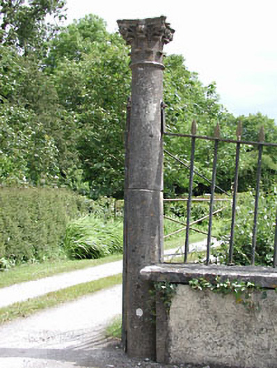 Spring Valley Housedemesne walls/gates/railings · 107 yd
 CastleCastle, tower house · 608 yd
 CrossCross, Wayside cross (present location) · 714 yd
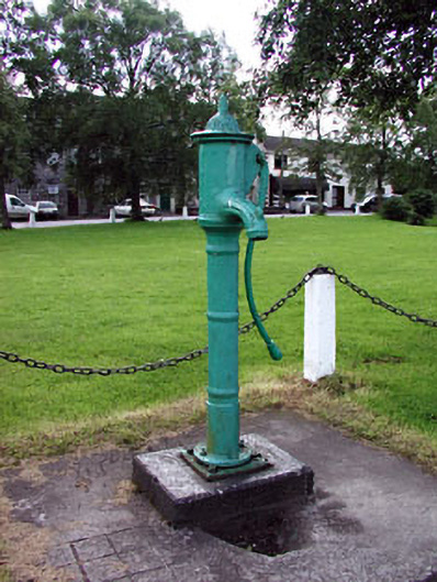 water pumpwater pump · 756 yd
 European ashEuropean ash · 1296 yd
 Dangan CastleCastle, tower house · 2.1 mi
 Saints IslandForest · 2.2 mi
 Kilgar GardensHeritage attraction · 3.4 mi
 Larchil Arcadian GardensHeritage attraction · 3.8 mi
 MullaghMountain / peak · 3.9 mi
 Old Bog Road made famous by Teresa Bryton 1868-1943Memorial · 4.4 mi