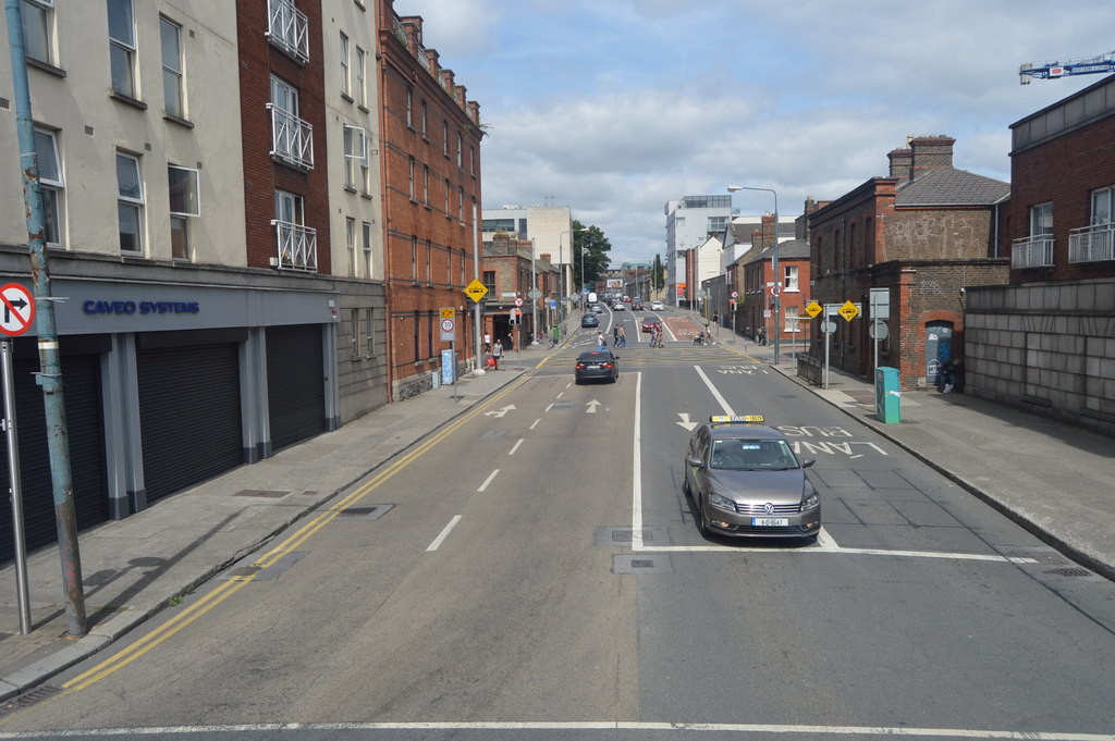
What is recorded here
Ring-ditch in Seatown East is a 11.2m circular ditch, 1.5m wide, with no visible entrance gap, sitting in a large arable field 412m SSW of Seatown Castle and 500m SSW of the Irish Sea coastline. It has no door, no step, no break in its line, which suggests exclusion rather than invitation. A person may have stood inside it during a ceremony, a bargain or a warning, while everyone else remained outside. The ditch still draws a boundary the field has not erased.
Located in a large arable field, c. 412m SSW of Seatown Castle (DU012-021----) and c. 500m SSW of the Irish Sea coastline. A ring-ditch is clearly visible on Google Earth imagery (4 July 2008 and 2 June 2016). It consists of a circular feature (ext. diam. c. 11.2m) defined by a ditch (Wth c. 1.5m). There are no indications of an entrance gap across the ditch.
Compiled by: Tom Condit
Uploaded on: 27 April 2021
The monument record does not grant public access. Check the route and ask the landowner before entering private land.
- What survives
- Recorded monument
Places near here
 Earthwork in Seatown EastEarthwork · 106 yd
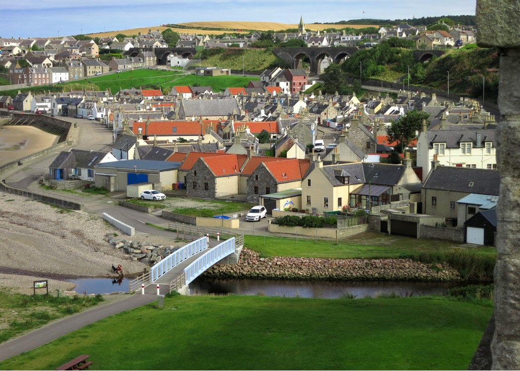 Seatown CastleCastle, tower house · 459 yd
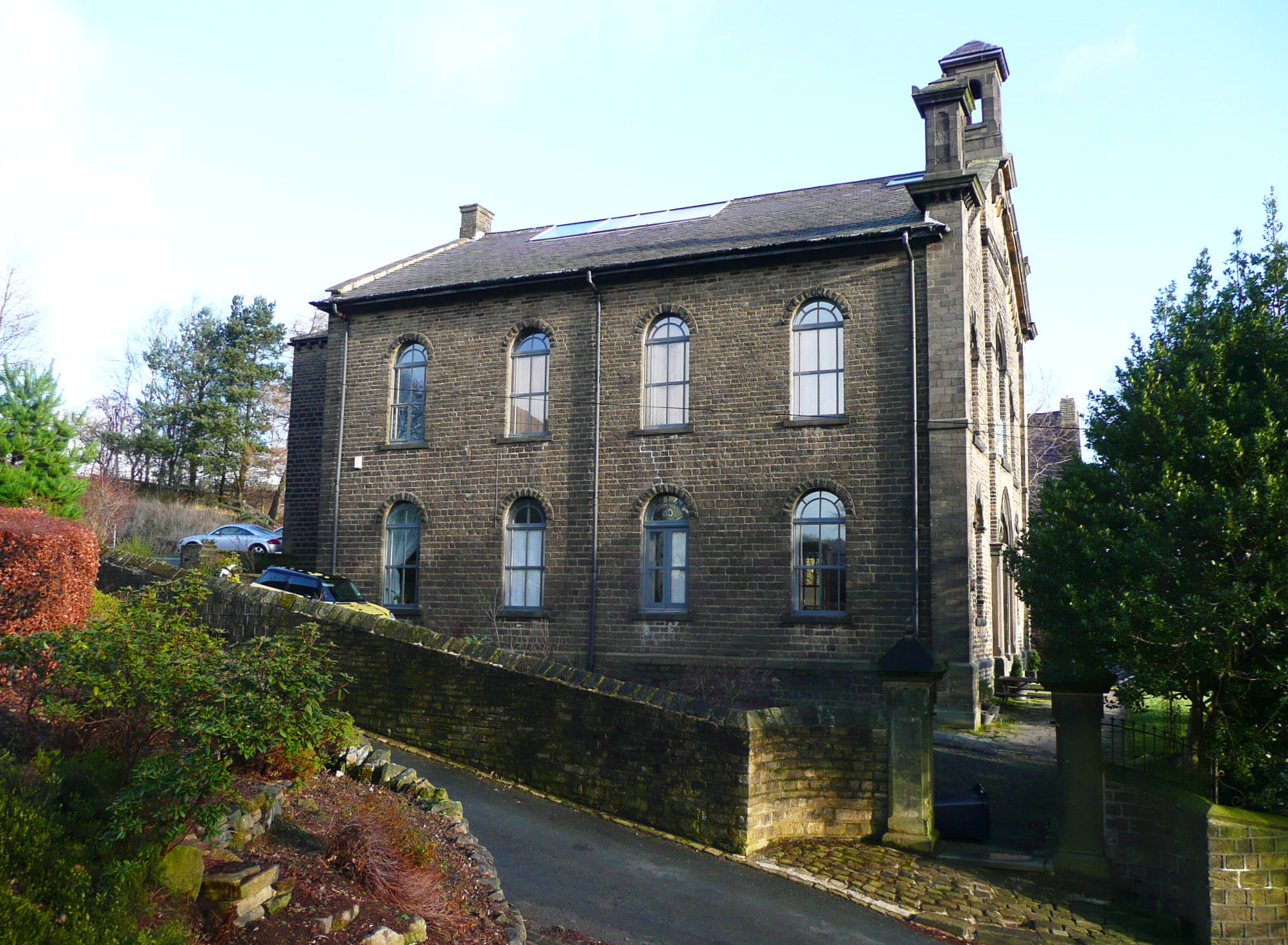 Mill BankTide mill, unclassified · 773 yd
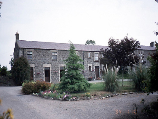 Prospect Housestables · 971 yd
 Ring-ditch in DrinanRing-ditch · 981 yd
 Swords CastleCastle · 1491 yd
 Fingal Tourism OfficeVisitor information · 1513 yd
 Kinsealy CourtMemorial · 1565 yd
 St Colmcilles WellVisitor information · 1665 yd
 Swords Round TowerHeritage attraction · 1.0 mi
 Graveyard (Disused)Church · 1.2 mi
 The JackoWood · 1.7 mi
Other information
Photo: Credit not shown in the picture search · Rights wording not checked; contact us if this picture should be removed