What is recorded here
Lambay rises like a green tooth beside the flat field where an invisible ring-ditch still holds its shape beneath the soil. The larger circle and its smaller northern companion have watched people move across Roscall since before memory, perhaps marking a home, a burial place or a boundary drawn in earth rather than stone. The landing strip now cuts through the old field, yet the mountains remain fixed in the distance and the hidden rings continue their quiet work beneath the grass.
A circular ring-ditch visible as a crop mark on an aerial photograph. A second smaller ring-ditch (DU007-070----) is located to the north in the same field (SMR file; pers. comm. T. Condit). Located within relatively flat field. Had been under crop but now has a landing strip running north-south along western limit and east-west across field. Expansive views southwards to the Dublin Mountains and Lambay is very prominent to the east. No visible remains at ground level.
Compiled by: David O’Connor
Updated by: Christine Baker
Date of upload: 3 December 2014
The monument record does not grant public access. Check the route and ask the landowner before entering private land.
- What survives
- Recorded monument
Places near here
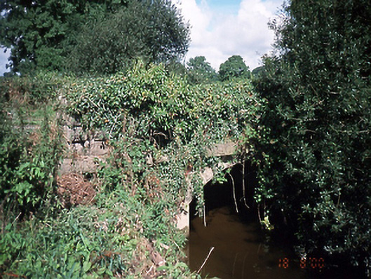 bridgebridge · 338 yd
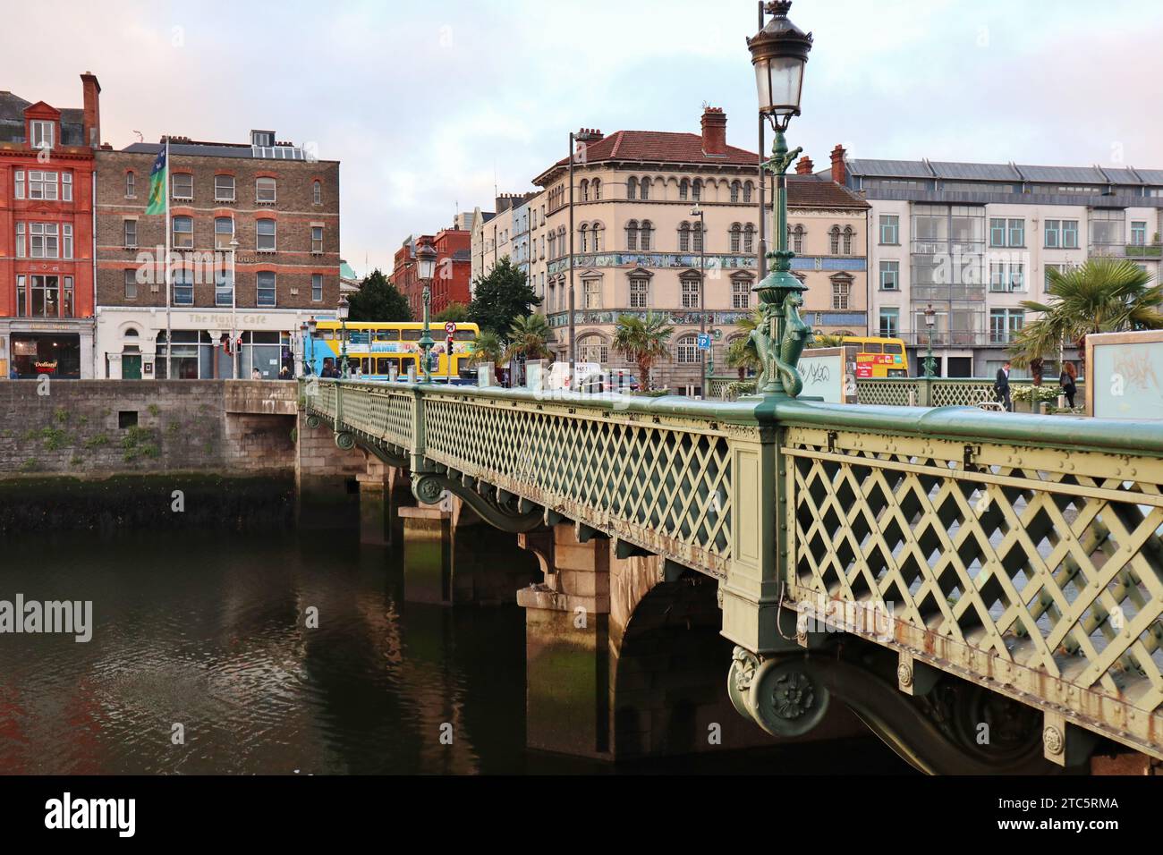 Bridge in GracedieuBridge · 537 yd
 Enclosure in Brownstown (balrothery West By.)Enclosure · 612 yd
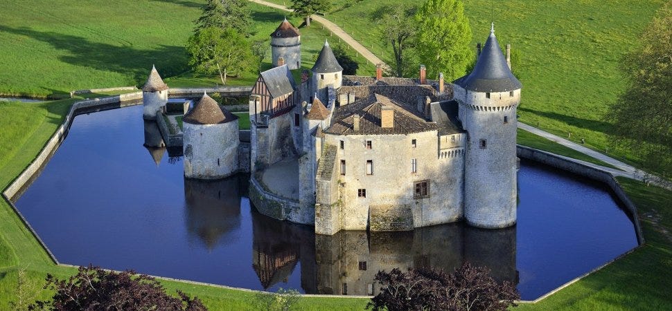 MoatMound · 646 yd
 Castle (Site of)Castle, tower house · 1.4 mi
 Roseville Business ParkVisitor information · 1.9 mi
 Redleaf Business ParkVisitor information · 2.0 mi
 St Cronans WellSpring · 3.0 mi
 Graveyard in KillosseryGraveyard · 3.2 mi
 The JackoWood · 3.5 mi
 Kim Archibold MemorialMemorial · 3.5 mi
 Hollywood GreatMountain / peak · 3.7 mi
Other information
Photo: Credit not shown in the picture search · Rights wording not checked; contact us if this picture should be removed