What is recorded here
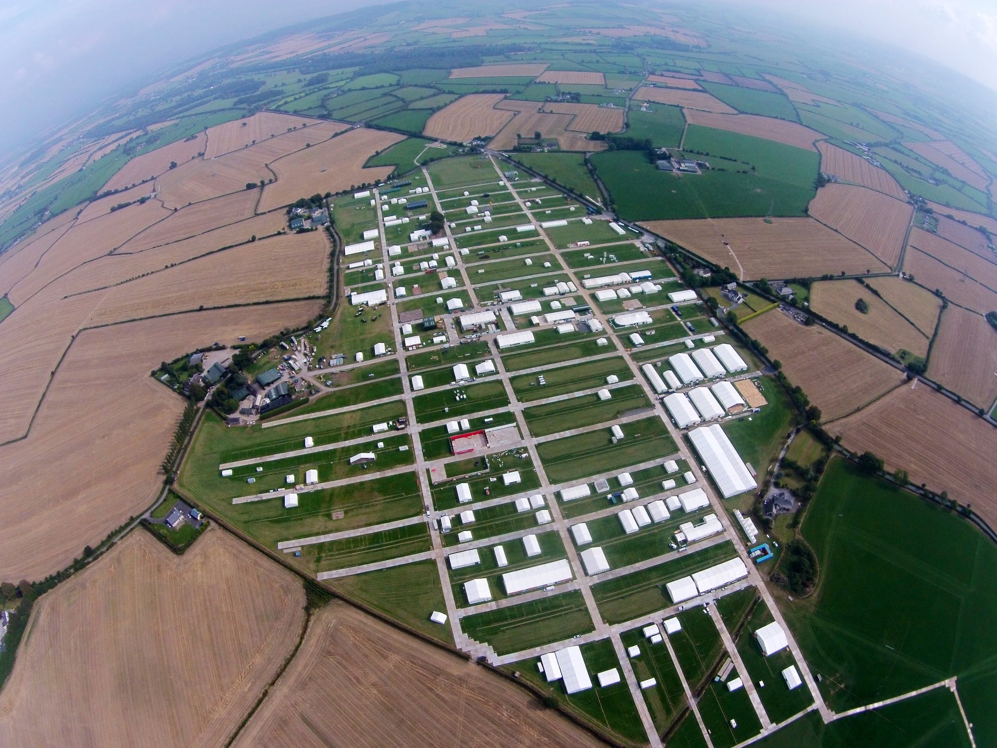
Located on a slight SE-facing slope. The cropmark of a small ring ditch (ext. diam. c. 10m) defined by two features is attached externally to the NW angle of rectangular enclosure (WX047-126001-) and is visible on aerial photographs (ASIAP (267) 2-7).
Compiled by: Michael Moore
Date of upload: 18 October, 2013
The monument record does not grant public access. Check the route and ask the landowner before entering private land.
- What survives
- Recorded monument
Places near here
 Enclosure in RingaheenEnclosure · 23 yd
 Field system in RingaheenField system · 246 yd
 bridgebridge · 1160 yd
 farm housefarm house · 1170 yd
 Ballyrane Castle (in ruins)Castle, tower house · 1519 yd
 CastleCastle, tower house · 1.0 mi
 The Heron's MeadowForest · 2.3 mi
 The Bull RockForest · 2.5 mi
 Johnstown Castle Visitor CentreHeritage attraction · 2.7 mi
 Irish Agricultural MuseumMuseum · 2.7 mi
 1798 Memorial PlaqueMemorial · 3.0 mi
 The HamBay · 3.7 mi