What is recorded here
In grassland, 30m NE of ringfort (LI039-017----). Cropmark of ring-ditch (diam. c. 19m) visible on Google Earth orthoimages.
See attached Google Earth orthoimages.
Compiled by: Caimin O'Brien
Date of upload: 14 April 2021
The monument record does not grant public access. Check the route and ask the landowner before entering private land.
- What survives
- Recorded monument
Places near here
 OutlinedEnclosure · 234 yd
 BarrowBarrow, unclassified · 636 yd
 Bawn in Ballycullane (kilmallock By.)Bawn · 1051 yd
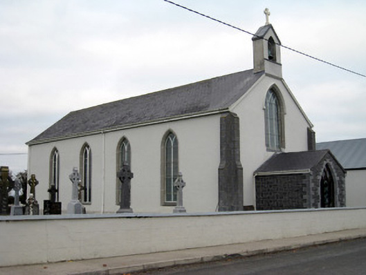 Catholic Church of Saint John the Baptistchurch/chapel · 1223 yd
 Glebe Houserectory/glebe/vicarage/curate's house, gate lodge · 1277 yd
 Athlacca Ho. (in ruins)Castle, unclassified · 1745 yd
 King John's CastleCastle · 4.1 mi
 Monasteranenagh AbbeyHeritage attraction · 4.9 mi
 European ashEuropean ash · 5.3 mi
 St Bridget's WellSpring · 5.8 mi
 Flat cemetery in Knockainy WestFlat cemetery · 7.9 mi
 Ballinvreena LoopVisitor information · 9.4 mi