
What is recorded here
In pasture, at the rear of two modern dwellings, ringfort known locally as 'Lisheengorm' (LI039-017----) lies 220m to the W. Depicted on the 1840 ed. OSi 6-inch map as a sub-rectangular shaped area (dims. c. 20m N-S; 27m E-W) enclosed by a field-boundary. Not shown as an antiquity on this map but as a small sub-rectangular shaped field. Not marked on 1897 ed. OSi 25-inch map, likely that the small field levelled between these map dates. In 2000 test excavations were carried out under licence No. 00E0840 by Rose Cleary to the S of the enclosure and no archaeological features or finds were uncovered (Cleary 2002, 201). No surface remains visible on OSi orthophotograph taken between 2005-12 and on Google Earth orthoimages. Remain of a small post-medieval field and not the remains of an antiquity.
See attached Google Earth orthoimages
Compiled by: Fiona Rooney
Date of upload: 14 April 2021
The monument record does not grant public access. Check the route and ask the landowner before entering private land.
- What survives
- Recorded monument
Places near here
 BarrowBarrow, unclassified · 804 yd
 Bawn in Ballycullane (kilmallock By.)Bawn · 817 yd
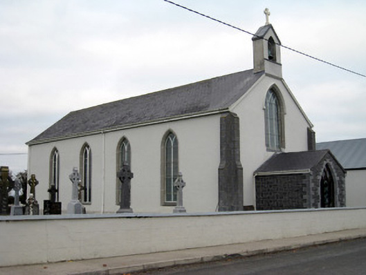 Catholic Church of Saint John the Baptistchurch/chapel · 1381 yd
 Glebe Houserectory/glebe/vicarage/curate's house, gate lodge · 1488 yd
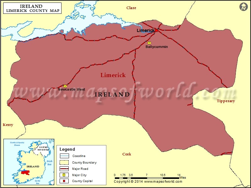 Field system in Clogher WestField system · 1559 yd
 Athlacca Ho. (in ruins)Castle, unclassified · 1.1 mi
 King John's CastleCastle · 4.0 mi
 Monasteranenagh AbbeyHeritage attraction · 4.9 mi
 European ashEuropean ash · 5.4 mi
 St Bridget's WellSpring · 5.7 mi
 Flat cemetery in Knockainy WestFlat cemetery · 7.8 mi
 Ballinvreena LoopVisitor information · 9.2 mi
Other information
Photo: Credit not shown in the picture search · Rights wording not checked; contact us if this picture should be removed