What is recorded here
In tillage. A small circular cropmark (diam. 10m) identified by Simon Dowling on Google Earth Pro (Image © 2018 Digital Globe, imagery date 28 June 2018). There is a ring-ditch (KK009-125----) 80m to the WNW and another (KK009-108----) 160m to the NE, and an enclosure (KK009-107----) 150m to the NNW and another (KK009-099----) c. 310m to the W.
See attached Google Earth image taken 28 June 2018
Compiled by: Jean Farrelly
Date of upload: 23 October 2018
The monument record does not grant public access. Check the route and ask the landowner before entering private land.
- What survives
- Recorded monument
Places near here
 Enclosure in Clone (galmoy By.)Enclosure · 338 yd
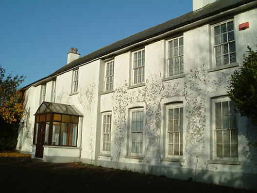 Clone Househouse · 889 yd
 Mount Eland Househouse · 1416 yd
 St. Catherines WellHoly well · 1714 yd
 Castle (in Ruins)Castle, tower house · 1.2 mi
 Emma Jane Browne-ClaytonMemorial · 1.9 mi
 Red horse-chestnutRed horse-chestnut · 1.9 mi
 Freshford LoopWalking route · 2.4 mi
 The PondsForest · 2.5 mi
 Anker's IslandIsland · 4.1 mi
 DelaneyMemorial · 7.8 mi