What is recorded here
Reported by Jean-Charles Caillere; in tillage and visible on Apple Maps aerial imagery as a circular area (diam. c. 12m) defined by the cropmark of a fosse.
See attached image: KD015-028----_01 Snip of Apple Maps aerial image.
Compiled by: Gearóid Conroy
Date of upload: 14 June 2023
The monument record does not grant public access. Check the route and ask the landowner before entering private land.
- What survives
- Recorded monument
Places near here
 Enclosure in HuttonreadEnclosure · 234 yd
 IndicatedCairn, unclassified · 1395 yd
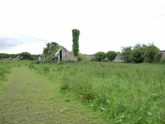 Johnstown Housewalled garden · 1463 yd
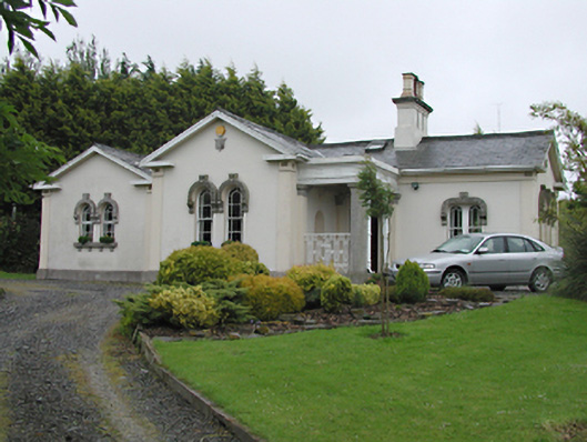 Steelstown Lodgegate lodge · 1479 yd
 Castlewarden MoatCastle, motte and bailey · 1.0 mi
 Colmanstown Castle (in ruins)Castle, tower house · 1.4 mi
 Kilteel WoodWood · 1.5 mi
 Arthur Guinness GraveMemorial · 2.0 mi
 Oughterard Round TowerHeritage attraction · 2.0 mi
 Athgoe HillMountain / peak · 2.1 mi
 Cullen's Hill WoodWood · 2.1 mi
 Saggart HillMountain / peak · 2.3 mi