What is recorded here
Situated on a rise. It was first identified by Cooney (et al. 2001, vol. 1, 43-4, Fig. 37) in a remote sensing survey in Panel F as a circular feature (diam. c. 10m) defined by a single fosse feature. It is c. 25m E of ring-ditch (ME020-025016-).
Compiled by: Michael Moore
Date of upload: 7 November, 2017
The monument record does not grant public access. Check the route and ask the landowner before entering private land.
- What survives
- Recorded monument
Places near here
 pill boxpill box · 351 yd
 Enclosure in OldbridgeEnclosure · 456 yd
 European YewEuropean Yew · 633 yd
 Battle of the BoyneMajor battlefield · 770 yd
 Battle of the Boyne Visitor CentreMuseum · 798 yd
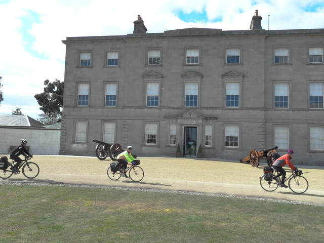 Oldbridgecountry house · 802 yd
 Grove IslandIslet · 842 yd
 Enclosure in DowthEnclosure · 1035 yd
 Proudfootstown CastleCastle, unclassified · 1045 yd
 Yellow IslandIslet · 1293 yd
 Glenmore ForestWood · 1.1 mi
 Dowth CastleCastle, tower house · 1.5 mi