What is recorded here
Situated on a rise. It was first identified by Cooney (et al. 2001, vo. 1, 43-4) as the cropmark of a small circular feature (diam. c. 7m) defined by a single fosse feature that is visible on the OSI aerial images (1995), and also (2005). Remote sensing recorded an outer ditch feature and two internal pits (ibid. Fig. 37). It can also be seen on Google Earth (07/05/2017).
See the attached enhanced view from OSI images (1995)
Compiled by: Michael Moore
Date of upload: 7 November, 2017
The monument record does not grant public access. Check the route and ask the landowner before entering private land.
- What survives
- Recorded monument
Places near here
 pill boxpill box · 331 yd
 Enclosure in OldbridgeEnclosure · 485 yd
 European YewEuropean Yew · 623 yd
 Battle of the BoyneMajor battlefield · 767 yd
 Battle of the Boyne Visitor CentreMuseum · 796 yd
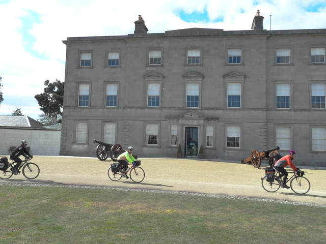 Oldbridgecountry house · 800 yd
 Grove IslandIslet · 871 yd
 Enclosure in DowthEnclosure · 1009 yd
 Proudfootstown CastleCastle, unclassified · 1014 yd
 Yellow IslandIslet · 1323 yd
 Glenmore ForestWood · 1.1 mi
 Dowth CastleCastle, tower house · 1.5 mi