What is recorded here
On the NE outskirts of Kilkenny City, a river flows southward into the Nore c. 270m to the E, fomerly in tillage. An aerial photograph (GB89.Q.26, 13 July 1989) shows cropmark of a small circular ring-ditch (diam. c. 8m). Subsequently the Ashfield house estate was built over the monument. An enclosure (KK019-121----) also identified as a cropmark lies c. 200m to the SE, possibly associated with a relic field system (KK019-123----).
Compiled by: Dr. Gillian Barrett for the Archaeological Survey of Ireland and Jean Farrelly
Date of revised upload: 20 October 2020
The monument record does not grant public access. Check the route and ask the landowner before entering private land.
- What survives
- Recorded monument
Places near here
 Church (in ruins)Church · 716 yd
 Enclosure in NeworchardEnclosure · 724 yd
 Enclosure in GarrincreenEnclosure · 932 yd
 Celbridge Househouse · 1233 yd
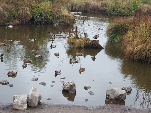 Newpark Marsh ParkNature reserve · 1262 yd
 Jurassic NewparkHeritage attraction · 1291 yd
 Kilkenny AFC & Kilkenny & District Soccer LeagueMemorial · 1602 yd
 Stephens Barracks MuseumMuseum · 1676 yd
 J. TobinMemorial · 1684 yd
 KilkennyVisitor information · 1.1 mi
 Black PoplarBlack Poplar · 1.2 mi
 Kilkenny County Council Car ParkVisitor information · 1.3 mi