What is recorded here
A Geophysical Survey (Detection Device Licence no. 22R0231) was carried out in relation to Wicklow County Council Planning Ref. 22/544 regarding a proposed residential development in Newcastle, Co. Wicklow.
The survey revealed two previously unidentified monuments in level pasture, both clearly defined and interpreted as ring ditches, located c. 20m apart. Their existence was subsequently confirmed during archaeological test trenching (Excavation Licence no. 22E0502).
The larger ringditch (WI019-081----) was a circular area (int. diam. c. 10m) enclosed by a ditch (av. Wth 1.7m; av. D 0.82m) and is to be preserved in situ.
The smaller one (WI019-082----) lies c. 20m to the NE and is also circular (int. diam. c. 5m; ext. dia. c. 7m) and has a possible entrance at east-southeast. It is to be preserved by record.
Compiled by: Gearóid Conroy
Date of upload: 9 May 2023
The monument record does not grant public access. Check the route and ask the landowner before entering private land.
- What survives
- Recorded monument
Places near here
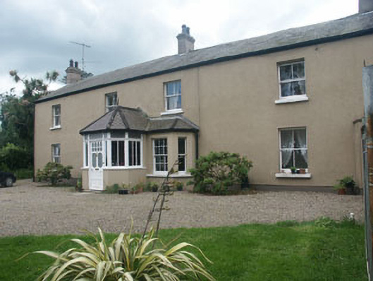 Oaklawnhouse · 94 yd
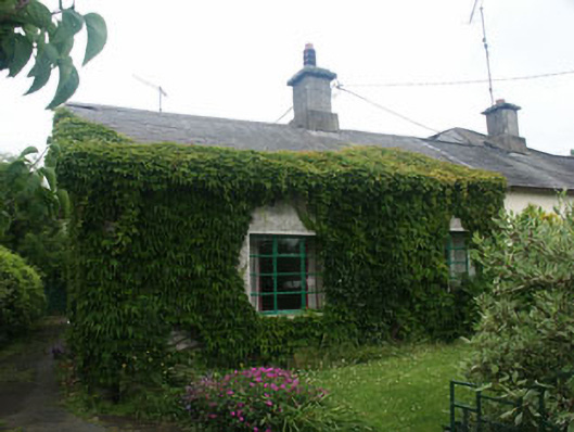 Corner Cottageworker's house · 176 yd
 Castle (in Ruins)Castle, ringwork · 484 yd
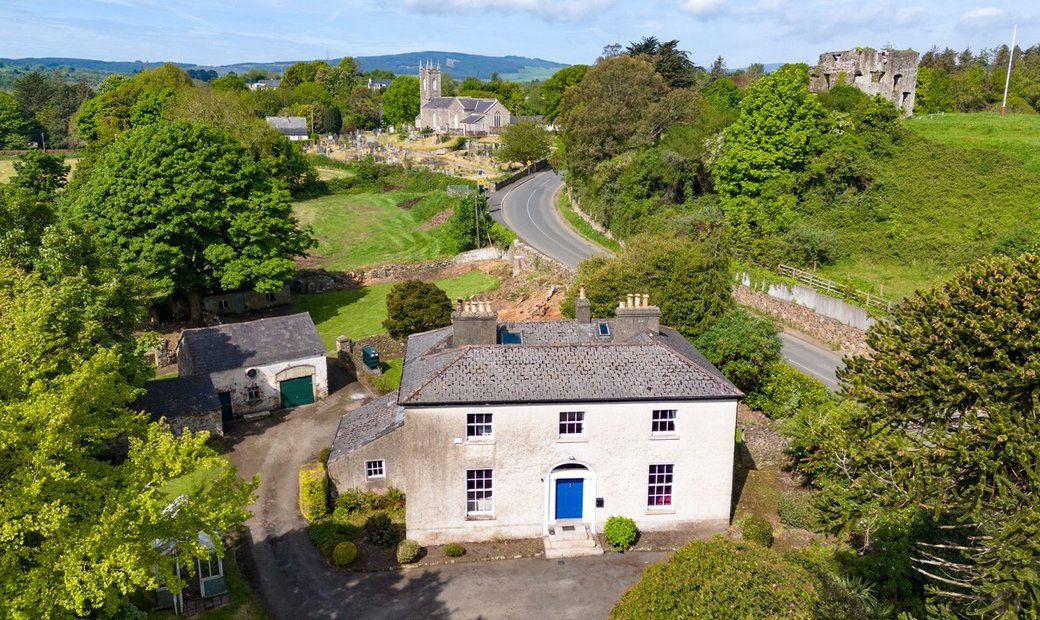 Enclosure in Newcastle LowerEnclosure · 774 yd
 IndicatedFairy fort / earthen ringfort · 868 yd
 East Coast Nature ReserveNature reserve · 1.1 mi
 CastleCastle, ringwork · 1.5 mi
 Leamore StrandBeach / strand · 1.5 mi
 SycamoreSycamore · 1.7 mi
 Glenroe FarmHeritage attraction · 3.0 mi
 Delgany Heritage TrailWalking route · 4.6 mi
 Greystones South BeachBeach / strand · 5.0 mi