What is recorded here
The following description is derived from the published 'Archaeological Inventory of County Meath' (Dublin: Stationery Office, 1987). In certain instances the entries have been revised and updated in the light of recent research.
Date of upload/revision: 10 July 2007
Two circular cropmarks (diam. c. 25m) on aerial photograph (CUCAP BDS 61).
The monument record does not grant public access. Check the route and ask the landowner before entering private land.
- What survives
- Recorded monument
Places near here
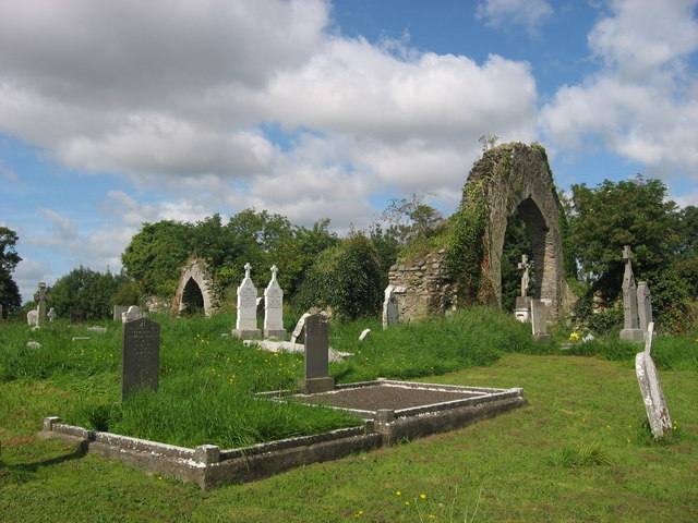 Church (in Ruins)Church · 463 yd
 Enclosure in LisdornanEnclosure · 1014 yd
 CrossCross, Wayside cross · 1149 yd
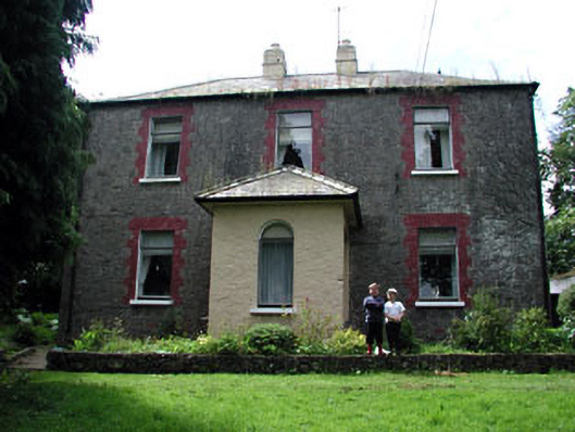 farm housefarm house · 1344 yd
 MoatCastle, motte · 1387 yd
 Battle of Julianstownbattle · 1449 yd
 Ballygarth CastleCastle · 1.2 mi
 SycamoreSycamore · 2.4 mi
 European YewEuropean Yew · 2.6 mi
 Clonard SpringSpring · 4.6 mi
 Newgrange Business ParkMemorial · 4.9 mi
 Balbriggan Tourist OfficeVisitor information · 5.4 mi