What is recorded here
Situated in a level landscape on the E side of the R132 Julianstown to Gormanstown and Balbriggan road, c. 1km SE of Julianstown bridge. Whitecross townland is marked on the Taylor and Skinner Maps of the Roads of Ireland (1783) and the cross is indicated as a feature (Andrews 1969, 2). An octagonal sandstone shaft (dims 0.29m x 0.29m; H 0.8m) has a mortice on top and half the sides have stops morphing into a rectangular form at the bottom. It is set in a rectangular limestone base (dims 0.82m x 0.72m; H c. 0.3m) with chamfered upper edges. There is no inscription. It is now in the front garden of a house.
From the National Monuments Service (Archaeological Survey of Ireland) record ME028-007
Places near here
Photo credits
- Maker shown on the Wikimedia Commons file page · CC BY-SA 3.0
- Kieran Campbell, Geograph · CC BY-SA 2.0
- National Inventory of Architectural Heritage
- Rfoconnor at English Wikipedia, Wikimedia Commons · Public domain
- Kieran Campbell, Wikimedia Commons · CC BY-SA 2.0
- Christian Pirkl, Wikimedia Commons · CC BY-SA 3.0 at
- Sitomon, Wikimedia Commons · CC BY-SA 2.0
- Karora, Wikimedia Commons · CC BY 4.0
- John M, Wikimedia Commons · CC BY-SA 2.0
- William Ellison, Wikimedia Commons · CC BY-SA 4.0
 Battle of JulianstownBattle · 866 yd
 IndicatedChurch · 1061 yd
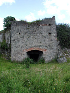 kiln1074 yd
 Ballygarth CastleCastle · 1104 yd
 CrossCross, Wayside cross · 1653 yd
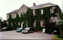 Dardistown CastleCastle, tower house · 1.7 mi
 Sycamore2.4 mi
 European Yew2.6 mi
 Quay in BremoreQuay · 4.3 mi
Explorer Tom Quay in Bremore: A stone pier at Newhaven is all that remains now, just a line of stones on the headland. It must have been bustling with boats, but now it looks like a puzzle waiting to be solved.
 Beaulieu House and GardensHeritage attraction · 4.5 mi
 Brú na Bóinne Visitors CentreVisitor information · 7.5 mi
 DowthNeolithic passage tomb · 7.7 mi
More archaeology and monuments in County Meath · All of County Meath

What do you know about this place?Tap to add a comment or ask a question