What is recorded here
Located on a fairly level landscape. The cropmark of two ring-ditches are visible only on Google Earth (14/07/2018). This ring-ditch (diam. c. 6m) is defined by a complete inner fosse, and an outer fosse c. 7-12m distant is visible SW-N. The ring-ditch (WX011-086001-) is c. 12m to the WSW. The monuments were first reported by Faith Bailey.
See the attached enhanced view (right) from Google Earth (14/07/2022)
Compiled by: Michael Moore
Date of upload: 17 January 2021
The monument record does not grant public access. Check the route and ask the landowner before entering private land.
- What survives
- Recorded monument
Places near here
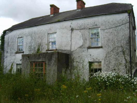 Barnadown Housefarm house · 798 yd
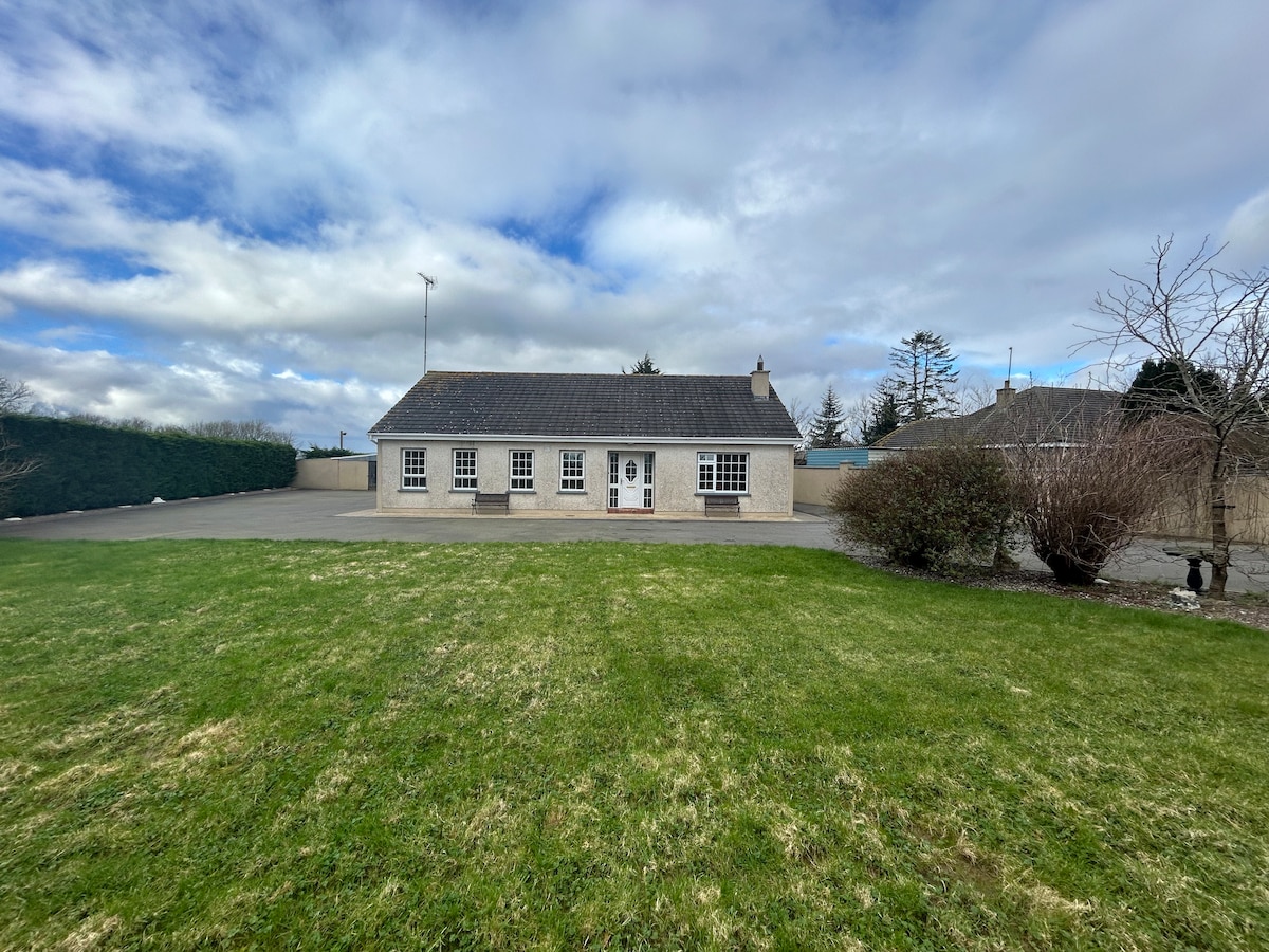 Enclosure in Barnadown LowerEnclosure · 934 yd
 Field system in Moneycross UpperField system · 938 yd
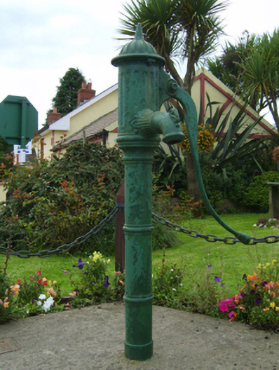 water pumpwater pump · 1425 yd
 Ballyminaun HillMountain / peak · 1498 yd
 Barnadown WoodWood · 1623 yd
 Carriganeagh RockMountain / peak · 1.6 mi
 1798 MonumentMemorial · 2.5 mi
 Market HouseHeritage attraction · 2.8 mi
 Ballingarry WoodForest · 4.4 mi
 Giants BedNamed rock · 4.9 mi
 Saint Brigid's WellSpring · 6.1 mi