What is recorded here
Situated on a slight SE-facing slope. The cropmark of a small enclosure (diam. c. 10m) is visible on aerial photographs (MM (12) 8-9).
Compiled by: Michael Moore
Date of upload: 18 July, 2012
The monument record does not grant public access. Check the route and ask the landowner before entering private land.
- What survives
- Recorded monument
Places near here
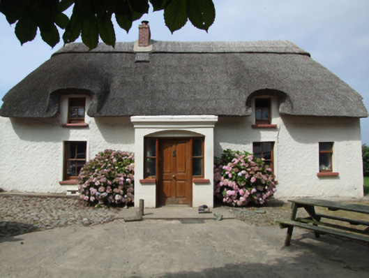 farm housefarm house · 317 yd
 IndicatedEnclosure · 994 yd
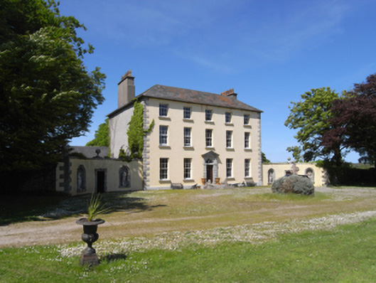 Castle Talbotcountry house · 1180 yd
 Site of ChurchChurch · 1230 yd
 1798 Insurrection MemorialMemorial · 1333 yd
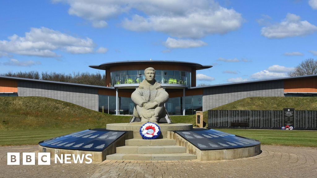 Memorial to The PomonaMemorial · 1568 yd
 Ballingowan MoteCastle, motte · 1.5 mi
 71Mountain / peak · 1.8 mi
 Blackwater Coastal Erosion Monitoring PointViewpoint · 1.8 mi
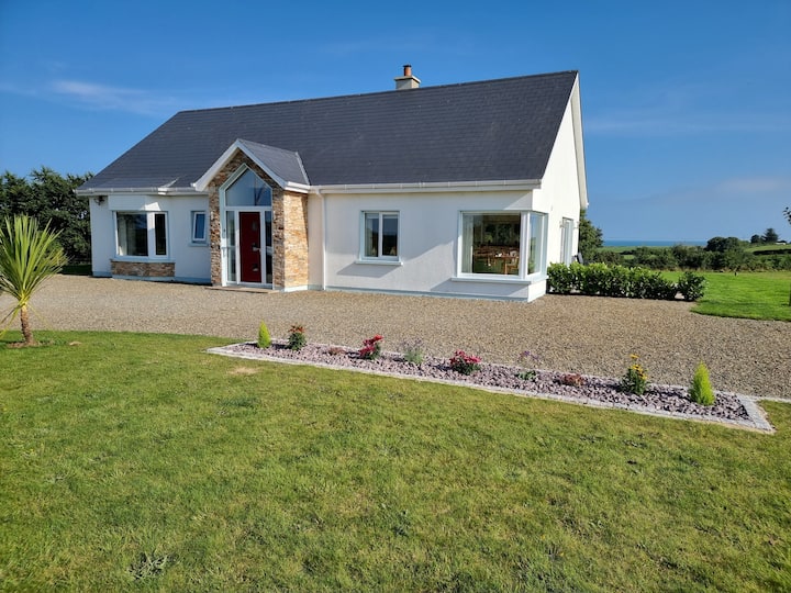 Tinnaberna BeachBeach / strand · 3.2 mi
 CastleCastle, unclassified · 3.5 mi
 Ballinesker BeachBeach / strand · 4.2 mi