What is recorded here
Located on a broad E-W ridge. Two concentric cropmark rings (max. diam. c. 15m) are visible on aerial photographs (MM (12) 10, 11).
The above description is derived from the published 'Archaeological Inventory of County Wexford' (Dublin: Stationery Office, 1996). In certain instances the entries have been revised and updated in the light of recent research.
Compiled by: Michael Moore
Date of upload/revision: 18 July 2012
The monument record does not grant public access. Check the route and ask the landowner before entering private land.
- What survives
- Recorded monument
Places near here
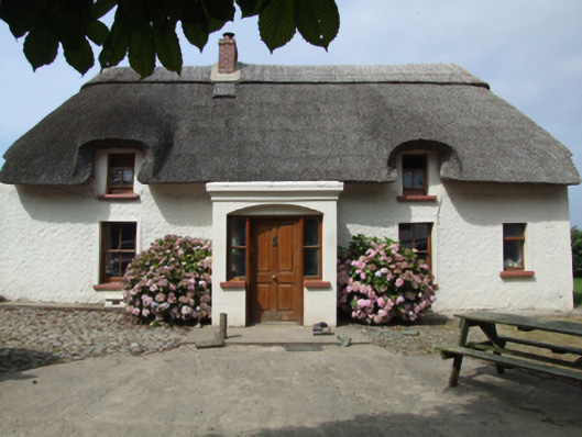 farm housefarm house · 556 yd
 IndicatedEnclosure · 1008 yd
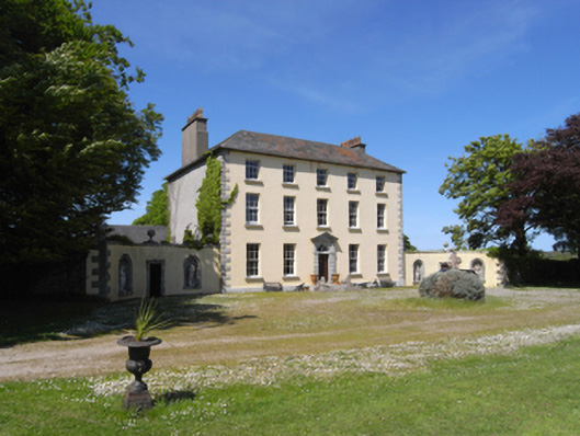 Castle Talbotcountry house · 1181 yd
 Site of ChurchChurch · 1200 yd
 1798 Insurrection MemorialMemorial · 1584 yd
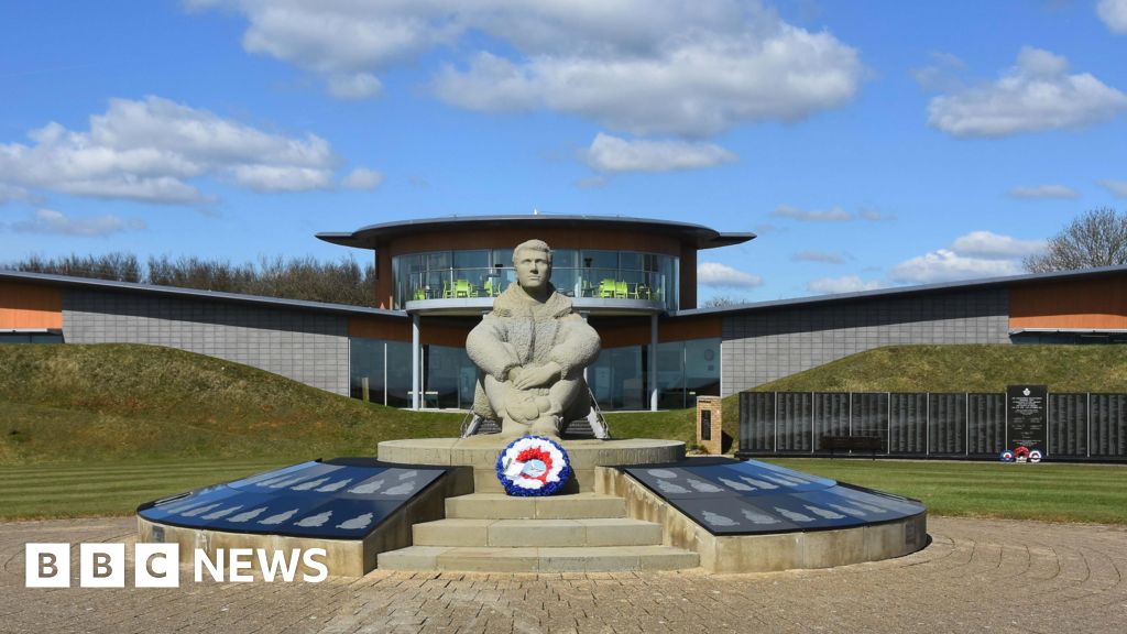 Memorial to The PomonaMemorial · 1.0 mi
 Ballingowan MoteCastle, motte · 1.3 mi
 71Mountain / peak · 1.9 mi
 Blackwater Coastal Erosion Monitoring PointViewpoint · 2.0 mi
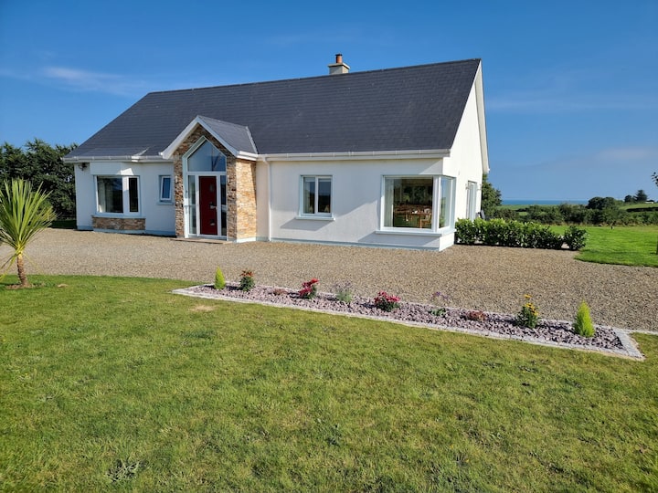 Tinnaberna BeachBeach / strand · 3.1 mi
 CastleCastle, unclassified · 3.7 mi
 Battle of Oulart Hill signVisitor information · 4.3 mi