What is recorded here
Located on a gentle SE-facing slope. The cropmark of a small enclosure (diam. c. 3m) defined by a single fosse is visible on Apple Maps (2018). It is also faintly visible on OSi images (1995), and it was first reported by Jean Charles Caillere.
See the attached enhanced view from Apple Maps (2018)
Compiled by: Michael Moore
Date of upload: 24 June 2021
The monument record does not grant public access. Check the route and ask the landowner before entering private land.
- What survives
- Recorded monument
Places near here
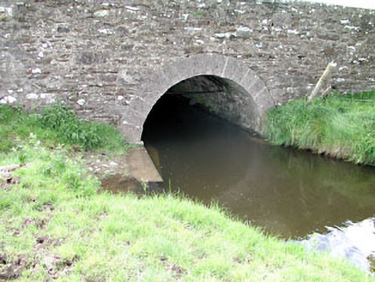 Martinstown Bridgebridge · 591 yd
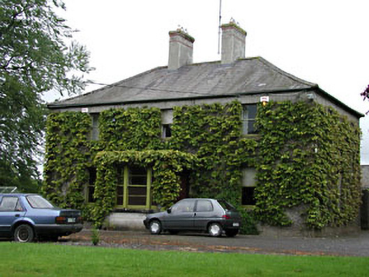 Ardglassan Housefarm house · 1063 yd
 Enclosure in GibbonstownEnclosure · 1308 yd
 Enclosure in Shanco (fore By.)Enclosure · 1.5 mi
 Moat of DiamorCastle, motte and bailey · 1.8 mi
 Round TowerCastle, tower house · 1.8 mi
 Largan WoodWood · 2.0 mi
 European ashEuropean ash · 2.2 mi
 Kells HillMountain / peak · 3.4 mi
 Slieve GullionMountain / peak · 3.8 mi
 Oliver Plunkett memorialMemorial · 3.8 mi
 Loughcrew Megalithic TombsHeritage attraction · 4.2 mi