What is recorded here
'Monitoring of topsoil stripping on a development site at Manor East uncovered a penannular ditch enclosing an area measuring 6.4m by 5.3m. The ditch itself was between 0.4 – 0.3m in width. A gap 4.5m wide occurred at the north - north-west. The ditch was V-shaped in section and no archaeological strata were noted in the fill. The only internal feature was a pit measuring 1.05m by 0.84m and 0.18m deep located off centre to the west. Charcoal was evident on the surface of the fill, and subsequent excavation showed an upper layer of clay with flecks of charcoal and a lower layer of charred wood and burnt clay, suggesting burning took place in the pit. Charcoal from the central pit produced an unusually late radiocarbon date of 688-754 calibrated AD.'
Description from ‘The Prehistoric Settlement of the Lee Valley, Tralee, Co. Kerry; A Landscape Perspective’ by Michael Connolly. PhD Thesis UCC 2008
Date of upload: 10 July 2012
The monument record does not grant public access. Check the route and ask the landowner before entering private land.
- What survives
- Recorded monument
Places near here
 Footballers StatueMonument · 377 yd
 Fulacht fia in Ballingowan (trughanacmy By.)Fulacht fia · 635 yd
 Ratass Church (in ruins)Church · 925 yd
 European YewEuropean Yew · 987 yd
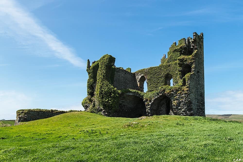 CastleCastle, unclassified · 1195 yd
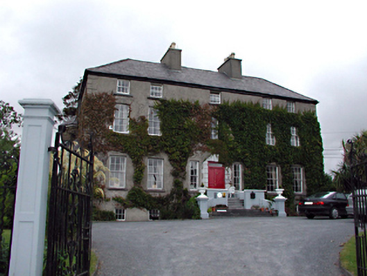 Castlemorris Househouse · 1346 yd
 Ballyseedy WoodWood · 1467 yd
 Civil War MemorialMemorial · 1623 yd
 Crimea Cannon and War MemorialMonument · 1.4 mi
 Kerry County MuseumMuseum · 1.4 mi
 John Hurley GalleryGallery · 1.5 mi
 Castle MacallistrumCastle, unclassified · 1.8 mi