What is recorded here
A ring-ditch visible as a crop mark on an aerial photograph (SMR file; pers. comm. Tom Condit, 11 March 2015). Cropmark of a possible pit-circle (DU017-104----) to SW with traces of a larger outer enclosing pit-circle (DU017-104----) visible on OSi Bluesky orthoimage taken 2018 (https://sdublincoco.maps.arcgis.com/apps/webappviewer/index.html?id=e0c5595b033341dea7661e248d2e9ee9). The ring-ditch appears to be located just inside the line of the large pit-circle.
DU017-094----_01.jpg: Aerial view showing the crop mark of the ring-ditch (from Google Maps, accessed 12 March 2015).
See attached OSi Bluesky orthoimage provided courtesy of Donal Lucey
Compiled by: Paul Walsh
Revised by: Caimin O'Brien based on details provided by Donal Lucey
Date of revised upload: 30 November 2022
The monument record does not grant public access. Check the route and ask the landowner before entering private land.
- What survives
- Recorded monument
Places near here
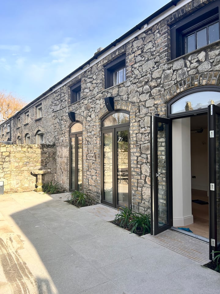 Pit circle in Lucan DemesnePit circle · 28 yd
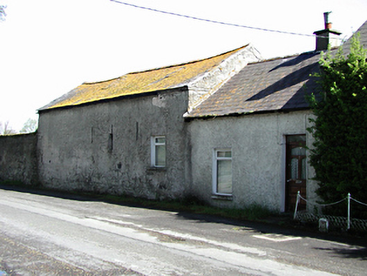 outbuildingoutbuilding · 405 yd
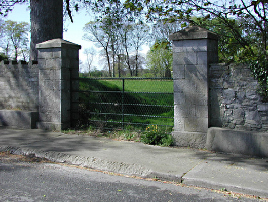 demesne walls/gates/railingsdemesne walls/gates/railings · 423 yd
 Sli Na Sláinte Leixlip Lucan DesmenseWalking route · 495 yd
 Ice Ho.Icehouse · 575 yd
 Sli Na Sláinte Leixlip SliWalking route · 643 yd
 Lucan DemenseHeritage attraction · 678 yd
 Guinness' BreweryMemorial · 858 yd
 Leixlip MonumentMemorial · 1018 yd
 Squirrel WoodWood · 1680 yd
 CastleCastle, unclassified · 1.4 mi
 The Wonderful BarnHeritage attraction · 1.4 mi