What is recorded here
Aerial photograph (GB89.K.27) shows cropmark of a ring-ditch with central deposit.
Compiled by: Dr Gillian Barrett for the Archaeological Survey of Ireland.
Date of upload: 10 June 2009
The monument record does not grant public access. Check the route and ask the landowner before entering private land.
- What survives
- Recorded monument
Places near here
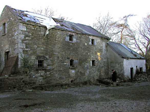 Delaney's Millmill (water) · 582 yd
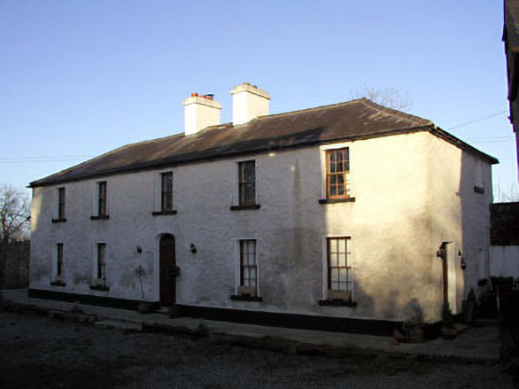 Mill House, Delaney's Millmiller's house · 610 yd
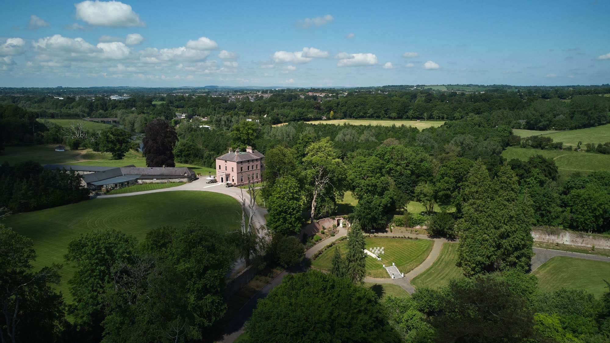 Enclosure in BellewEnclosure · 1061 yd
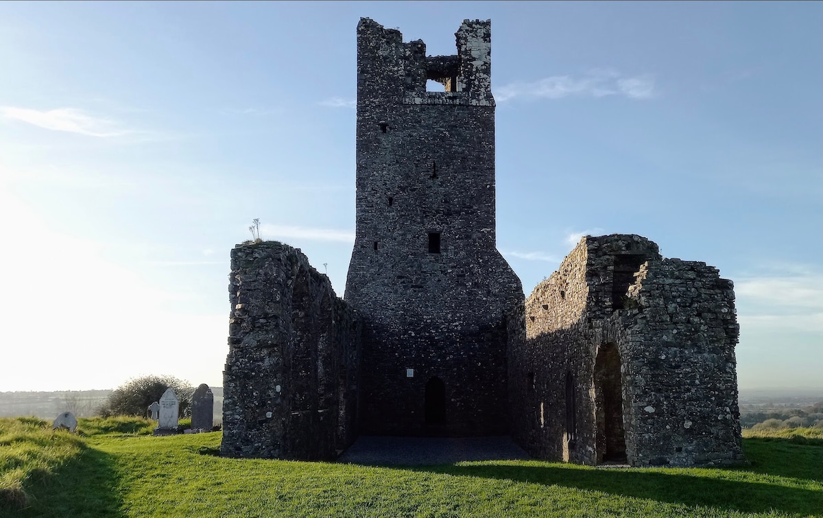 CastleCastle, motte · 1123 yd
 Enclosure in RathfeighEnclosure · 1235 yd
 Macetown CastleCastle, tower house · 1.4 mi
 European ashEuropean ash · 2.0 mi
 Candle HillMountain / peak · 2.0 mi
 European BeechEuropean Beech · 2.3 mi
 PuddenhillHeritage attraction · 2.9 mi
 Emerald ParkHeritage attraction · 3.9 mi
 Newtown HillMountain / peak · 4.2 mi