What is recorded here
A ring-ditch visible as a crop mark on an aerial photograph (SMR file; pers. comm. D. Lucey).
Compiled by: Paul Walsh
Date of upload: 11 September 2015
The monument record does not grant public access. Check the route and ask the landowner before entering private land.
- What survives
- Recorded monument
Places near here
 Site of Fair GreenForest · 686 yd
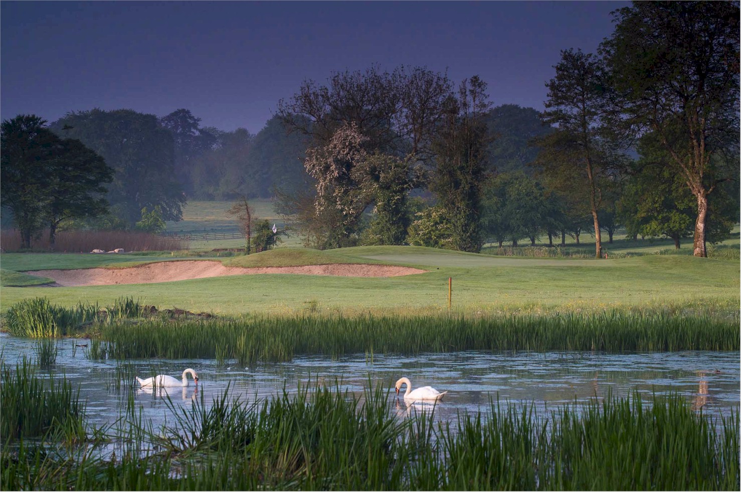 Enclosure in RathsallaghEnclosure · 913 yd
 CastleCastle, unclassified · 1062 yd
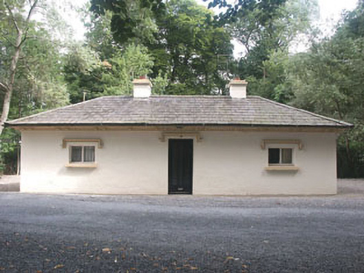 Rathsallagh Housegate lodge · 1336 yd
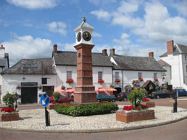 IndicatedFairy fort / earthen ringfort · 1537 yd
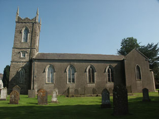 Saint Nicholas's Church (Dunlavin)church/chapel · 1.2 mi
 Memorial to 1798 rebellionMonument · 1.3 mi
 Colbinstown Castle (in Ruins)Castle, unclassified · 1.5 mi
 HawthornHawthorn · 2.3 mi
 Ballyhook HillMountain / peak · 3.8 mi
 Burial ground in CrehelpBurial ground · 4.3 mi
 Battle of Kilrushbattle · 5.9 mi