What is recorded here
Double ditches cut a small circle on the flat field beside the River Nore, both openings facing the water as if the river were the true entrance. Charcoal, burnt bone and shells filled the pits, suggesting people gathered there to cook, remember or transform life into marker. A medieval enclosure later crossed the older marks, proving the place stayed lived-in long after its first makers departed.
On a relatively flat field adjacent to the River Nore and its floodplain to the E. Excavated in 2007/8 in advance of the N9/N10 Kilcullen to Waterford road scheme (Licence no. E3730). A double penannular ring-ditch (inner ditch: diam. 10.4m x 9.8m; outer ditch: diam. 19.8m x 16.7m) cut at E by a field boundary. The entrance for both ring-ditches faces E, suggesting the river was an important focus for the site. In the interior were four post-holes and a large waste pit. A group of 17 stake-holes, two of which were cut by a possible cremation pit were just outside to the SW and were probably contemporary. The fills of the ring-ditch contained charcoal, burnt bone, animal bone and shells. Two Bann flakes are likely to have been residual rather than indicative of an earlier date. There was no evidence of a bank or of any recuts within either the inner or outer ring-ditch. The ring-ditch was cut by a large medieval square enclosure (KK024-127----). (Whitty and Lynch 2009; Lynch 2010, 235, no. 885)
Compiled by: Mary Tunney
Date of upload: 12 November 2013
The monument record does not grant public access. Check the route and ask the landowner before entering private land.
- What survives
- Recorded monument
Places near here
 Enclosure in Kilree (knocktopher By.)Enclosure · 17 yd
 Church (in ruins)Church · 427 yd
 O'Gorman's Lane LoopWalking route · 808 yd
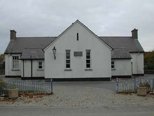 Bennettsbridge National Schoolschool · 829 yd
 Time CapsuleMemorial · 864 yd
 Concentric enclosure in WallsloughConcentric enclosure · 1439 yd
 Dunbell Big RingfortWood · 1506 yd
 Castle (in ruins)Castle, unclassified · 1.1 mi
 CastleCastle, unclassified · 1.3 mi
 Black WalnutBlack Walnut · 1.4 mi
 Kilkenny AirsoftHeritage attraction · 1.4 mi
 Kilbline GraveyardArchaeological place · 2.1 mi