What is recorded here
Located on a gentle S-facing slope and on the demesne land of Killabeg House, but it is not marked on any edition of the OS 6-inch map. The cropmark of a circular enclosure (diam. c. 17m) defined by a single continuous fosse feature (Wth 2-3m) is visible only on Google Earth (14/07/2019). It was first reported by Jean Charles Caillere.
Compiled by: Michael Moore
Date of upload: 18 September 2019
The monument record does not grant public access. Check the route and ask the landowner before entering private land.
- What survives
- Recorded monument
Places near here
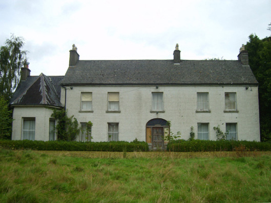 Killabeg Housefarm house · 296 yd
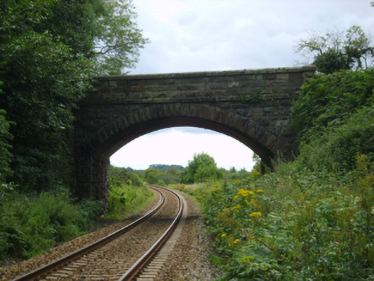 bridgebridge · 571 yd
 Font in KillabegFont · 933 yd
 U.N. Peace MemorialMonument · 3.2 mi
 Duffry GateMemorial · 3.2 mi
 Battle of Vinegar HillMajor battlefield · 3.3 mi
 National 1798 CentreMuseum · 3.6 mi
 Daphney CastleCastle, unclassified · 4.2 mi
 Pedunculate OakPedunculate Oak · 5.1 mi
 CastleCastle, ringwork · 5.3 mi
 European LarchEuropean Larch · 5.9 mi