What is recorded here
Six ring-ditches sit in a shallow hollow near Headfort House, spaced a hundred metres apart like forgotten beads on a string. Each measures twelve metres across with a possible western gap, yet they vanished from ordinary sight until a 2018 survey pulled them back into view. They may have marked burial, ritual or boundary for people whose names never reached us. The land keeps their shape even when memory does not.
A group of six ring-ditches situated in a slight hollow on a fairly level landscape are placed c. 100m apart on land that was once part of the demesne of Headfort House. They are only visible on Apple Maps, which utilises a survey conducted by Bluesky International during June 2018. This is a circular feature (diam. c. 12m) defined by a single fosse feature that could have an entrance (Wth c. 3m) at W. The complex was first reported by Anthony Murphy.
See the attached enhanced aerial view (L) from Apple Maps
Compiled by: Michael Moore
Date of upload: 27 January 2020
The monument record does not grant public access. Check the route and ask the landowner before entering private land.
- What survives
- Recorded monument
Places near here
 Enclosure in Headfort DemesneEnclosure · 265 yd
 Long WoodWood · 282 yd
 Stone WoodWood · 502 yd
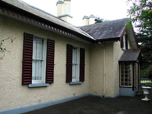 Kenlis Lodgehouse · 673 yd
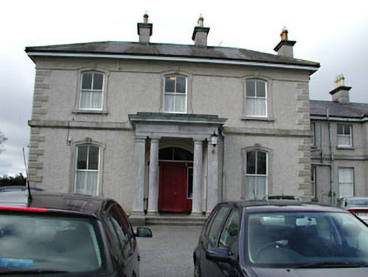 Eurekahouse · 709 yd
 CrossCross, High cross (present location) · 750 yd
 Saint John's CemeteryMemorial · 829 yd
 The Parnell GardenMemorial · 990 yd
 CastleCastle, unclassified · 1134 yd
 Castle ruinsCastle · 1417 yd
 BalreaskMountain / peak · 2.3 mi
 MountainpoleMountain / peak · 2.6 mi