What is recorded here
Six perfect rings, each fifteen metres across, mark a slight hollow beneath the Headfort demesne. Spaced a hundred metres apart, they form a hidden chamber where human hands shaped the earth before memory faded. The soil still holds their circular breath, waiting for someone to notice the patience buried underneath the grass.
A group of six ring-ditches situated in a slight hollow on a fairly level landscape are placed c. 100m apart on land that was once part of the demesne of Headfort House. They are only visible on Apple Maps, which utilises a survey conducted by Bluesky International during June 2018. This cropmark of a perfectly circular enclosure (diam. c. 15m) is defined by a continuous fosse. The complex was first reported by Anthony Murphy.
See the attached enhanced view (R) from Apple Maps
Compiled by: Michael Moore
Date of upload: 27 January 2020
The monument record does not grant public access. Check the route and ask the landowner before entering private land.
- What survives
- Recorded monument
Places near here
 Enclosure in Headfort DemesneEnclosure · 152 yd
 Long WoodWood · 369 yd
 Stone WoodWood · 497 yd
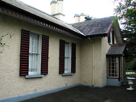 Kenlis Lodgehouse · 770 yd
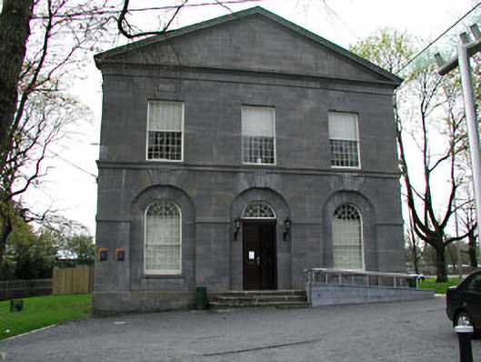 Kells Courthousecourt house · 815 yd
 CrossCross, High cross (present location) · 849 yd
 Saint John's CemeteryMemorial · 929 yd
 The Parnell GardenMemorial · 1096 yd
 CastleCastle, unclassified · 1240 yd
 Castle ruinsCastle · 1308 yd
 BalreaskMountain / peak · 2.3 mi
 BallybegMountain / peak · 2.4 mi