What is recorded here
Situated on a slight rise in a fairly level landscape. The cropmark of a small circular enclosure defined by two continuous ditch features (int. diam. c. 6m; ext. diam. c. 20m) is visible on Google Earth (24/06/2019).There may be other similar features in the vicinity. It was first reported by Anthony Murphy and also reported by Jean-Charles Caillére.
Compiled by: Michael Moore
Date of amended upload: 11 June, 2019
The monument record does not grant public access. Check the route and ask the landowner before entering private land.
- What survives
- Recorded monument
Places near here
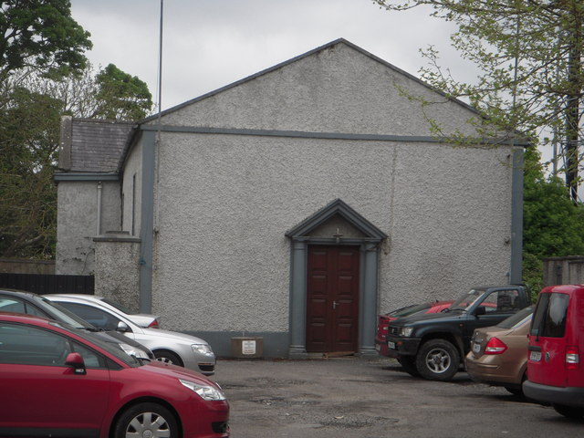 Dunshaughlin Courthousecourt house · 1555 yd
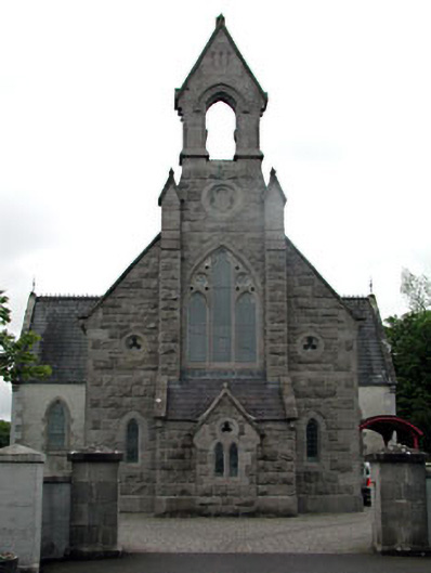 Dunshaughlin Librarychurch/chapel · 1573 yd
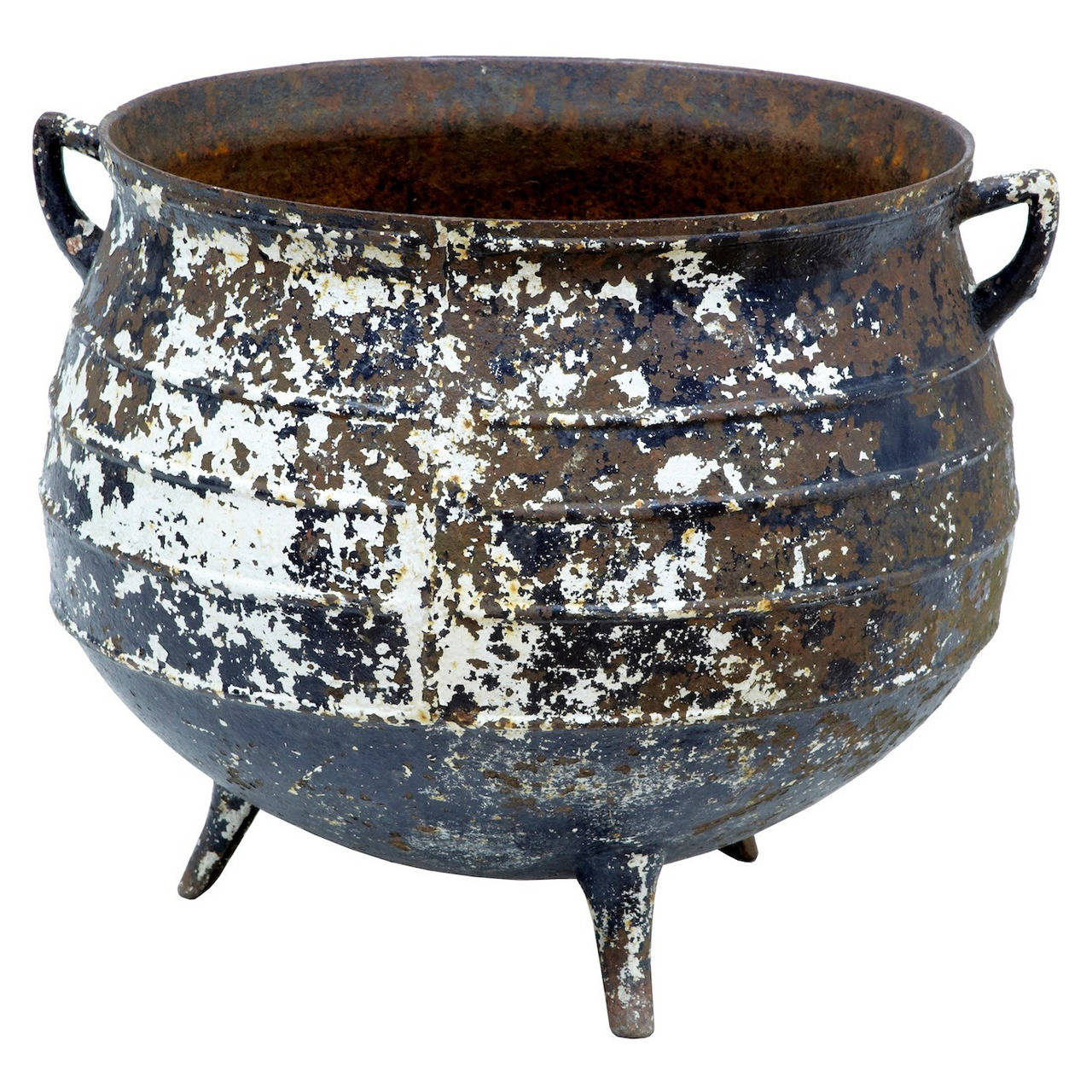 Famine PotMonument · 1581 yd
 Church (Site of)Church · 1670 yd
 Lemur WoodWood · 3.3 mi
 Emerald ParkHeritage attraction · 3.4 mi
 Lismahon 1798 MemorialMonument · 3.5 mi
 Killeen CastleCastle, tower house · 3.6 mi
 Site of Old CastleCastle, unclassified · 4.3 mi
 Laurel WoodsWood · 4.5 mi
 Newtown HillMountain / peak · 5.1 mi
 1798 MemorialMemorial · 5.9 mi