What is recorded here
On level ground at the S. edge of a large, disused horse-exercising track. Visible on an aerial photograph (DoD, 1999). A small, level, circular area (diam. 5m) is defined by a shallow fosse (Wth 2m; D 0.2m). Denuded cultivation ridges abut the fosse at W and N. and a broad vegetation band (Wth 4-5m) of moss, heather and rushes defines the outer limits of the fosse NW-N-SE. This is one of a group of six similar, closely associated monuments (KD022-072---- to KD022-077----) in this part of the Little Curragh.
Compiled by: Gearóid Conroy
Date of upload: 10 June 2011
The monument record does not grant public access. Check the route and ask the landowner before entering private land.
- What survives
- Recorded monument
Places near here
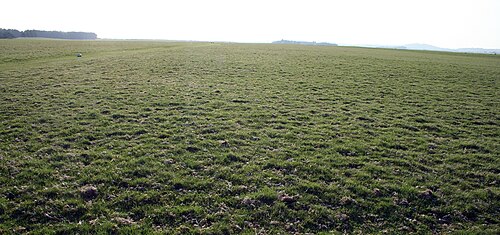 The CurraghEarthwork · 481 yd
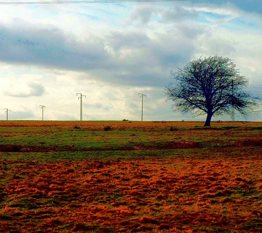 IndicatedEnclosure · 495 yd
 Religious houseReligious house, unclassified · 1690 yd
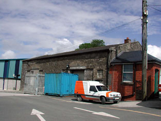 Kildare Railway Stationstore/warehouse · 1.3 mi
 Castle in ruinsCastle, Anglo-Norman masonry castle · 1.7 mi
 CastleCastle, motte · 1.7 mi
 Pollardstown Fen Nature ReserveNature reserve · 1.9 mi
 Saint Fiachra's GardenHeritage attraction · 2.2 mi
 Bee-bee treeBee-bee tree · 2.3 mi
 Horse MuseumMuseum · 2.3 mi
 Bithia Mary CrokerMemorial · 5.3 mi
 Grand Canal WayVisitor information · 7.0 mi