What is recorded here
A small circular enclosure (diam. c. 10m), identified as the faint cropmark of a fosse on satellite imagery (Google Earth satellite imagery, 21 July 2021) by Jean-Charles Caillère. Another ring-ditch (CW013-129----) is located c. 70m to the ESE and an enclosure (CW013-133----), also visible on the Google Earth satellite imagery, is located c. 240m to the NE.
See attached:
CW013-132----_01 Google Earth satellite imagery, 21 July 2021
Compiled by: Jean Farrelly
Date of upload: 7 December 2021
The monument record does not grant public access. Check the route and ask the landowner before entering private land.
- What survives
- Recorded monument
Places near here
 Enclosure in Ballymogue (ballon Ed)Enclosure · 491 yd
 Castlegrace MoatCastle, motte · 790 yd
 Ballymogue RathEnclosure · 1014 yd
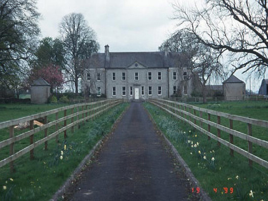 Sandbrook Househouse · 1077 yd
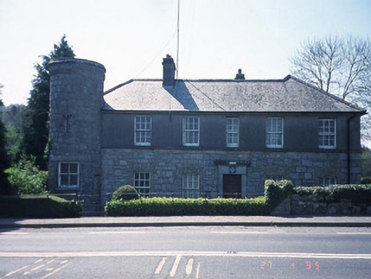 Ballon Garda Síochána StationRIC barracks · 1469 yd
 Church (in ruins), GraveyardChurch · 1.0 mi
 Scots PineScots Pine · 1.7 mi
 Altamont Gardens MapVisitor information · 1.8 mi
 Altamont House and GardensHeritage attraction · 1.8 mi
 CastleCastle, motte and bailey · 3.3 mi
 Kilmurry Church (in ruins), GraveyardChurch · 3.5 mi
 English hollyEnglish holly · 3.7 mi