
What is recorded here
Ballymogue Rath is a circular hilltop enclosure in County Carlow, Ireland, marked only by a hidden bank and crop shadows rather than visible stone. It may have been a ringfort, a place where people lived, hid or worshipped before the land forgot the shape of their days. The absence of entrance or ditch does not diminish it; it suggests the earth reclaimed the boundary while the purpose remained intact beneath the grass.
The following description is derived from the published 'Archaeological Inventory of County Carlow' (Dublin: Stationery Office, 1993). In certain instances the entries have been revised and updated in the light of recent research.
Date of upload/revision: 17 July 2007
Shown on 1908 'OS 6-inch' map by hachured field boundary at NW-NE-SE (max. diam. c. 30m). Circular area on hilltop, defined by cropmark of bank. No visible trace of either fosse or entrance. Possibly a ringfort.
Ballymogue Rath is a circular earthen ringfort, typical of early-medieval agricultural settlements in Ireland, dating to between the 5th and 10th centuries AD. Local folklore associates such sites with the "good people" or fairies, and it was traditionally avoided for building or farming due to superstitious beliefs.
This remains an important historical record, but the official description says the monument is no longer visible or has been destroyed. The monument record does not grant public access. Check the route and ask the landowner before entering private land.
- What survives
- No visible remains or recorded as destroyed
Places near here
 Enclosure in Ballymogue (ballon Ed)Enclosure · 535 yd
 Enclosure in CommonsEnclosure · 835 yd
 Castlegrace MoatCastle, motte · 1382 yd
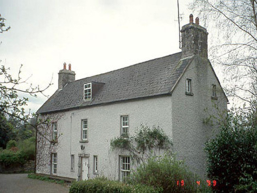 Milkpark Housefarm house · 1696 yd
 All Saints' Church (Aghade)church/chapel · 1.1 mi
 Church (in ruins), GraveyardChurch · 1.2 mi
 Scots PineScots Pine · 1.2 mi
 Altamont Gardens MapVisitor information · 1.2 mi
 Altamont House and GardensHeritage attraction · 1.3 mi
 CastleCastle, motte and bailey · 3.3 mi
 English hollyEnglish holly · 3.4 mi
 Kilmurry Church (in ruins), GraveyardChurch · 4.0 mi
Other information
Photo: Credit not shown in the picture search · Rights wording not checked; contact us if this picture should be removed