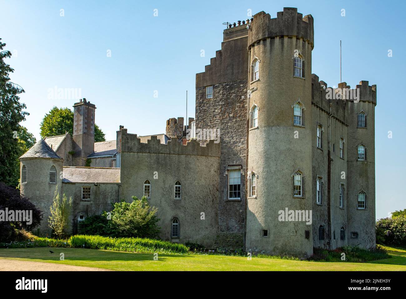
What is recorded here
This monument was subject to geophysical survey (Licence no. 09R0038) and test excavation (Licence no. 10E0028) in advance of the Barryspark Local Area Plan. A ring ditch (13m diam.) was identified c. 160m SE of St Werburgh’s well (DU011-045----). The fill of the annular ditch (2m wide) had unidentified burnt bone inclusions (O’Hara 2010, 16).
Compiled by: Christine Baker
Date of upload: 4 February 2015
The monument record does not grant public access. Check the route and ask the landowner before entering private land.
- What survives
- Recorded monument
Places near here
 St. Werburghs WellHoly well · 171 yd
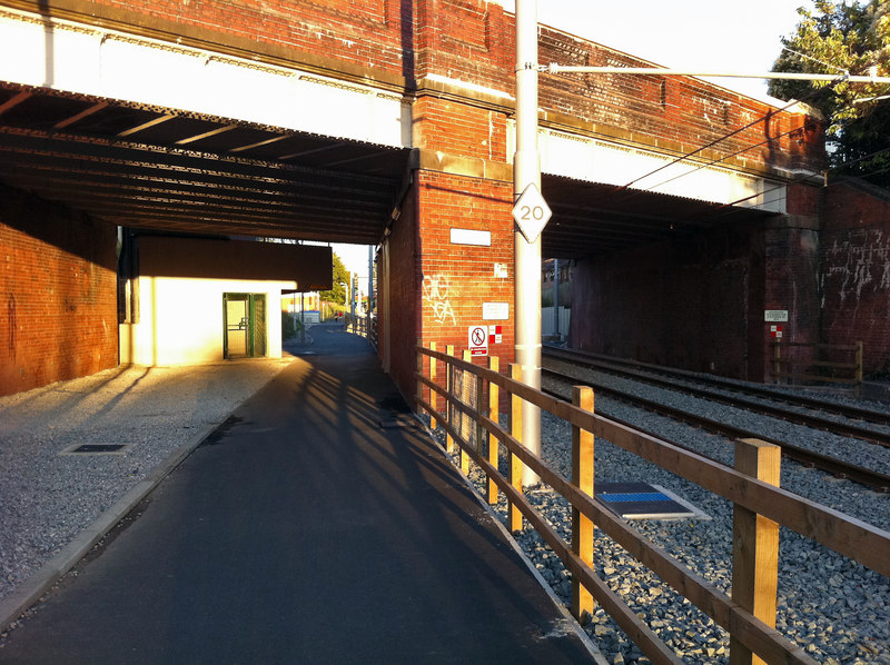 St. WerburghsHoly well · 522 yd
 Kiln in DrinanKiln · 859 yd
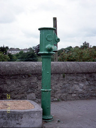 water pumpwater pump · 977 yd
 Airside Retail ParkVisitor information · 991 yd
 St Colmcilles WellVisitor information · 1032 yd
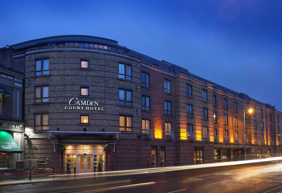 Kinsealy CourtMemorial · 1167 yd
 Swords Round TowerHeritage attraction · 1317 yd
 Swords CastleCastle · 1451 yd
 Tower (in ruins), Castle and ChapelCastle, Anglo-Norman masonry castle · 1453 yd
 Kim Archibold MemorialMemorial · 1.1 mi
 The JackoWood · 1.2 mi
Other information
Photo: Credit not shown in the picture search · Rights wording not checked; contact us if this picture should be removed