What is recorded here
A small circular enclosure (diam. c. 10m) identified as the cropmark of a fosse on an aerial photograph (GB89.S.29; 13 July 1989) and also visible on satellite imagery (Google Earth, imagery date 13 August 2015).
See attached:
KK023-125----_01 satellite imagery (Google Earth, imagery date 13 August 2015)
Compiled by: Jean Farrelly
Date of upload: 10 September 2021
The monument record does not grant public access. Check the route and ask the landowner before entering private land.
- What survives
- Recorded monument
Places near here
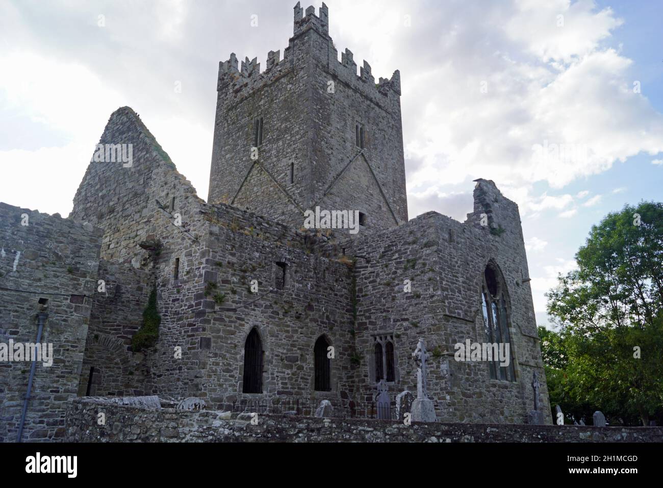 IndicatedConcentric enclosure · 537 yd
 Welsh'sForest · 620 yd
 Church (in Ruins)Church · 1097 yd
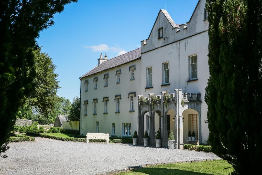 Enclosure in AnnamultEnclosure · 1110 yd
 Danesfort Housefolly · 1283 yd
 Tower (in ruins)Bawn · 1519 yd
 Annamult Castle (in ruins)Castle, tower house · 1556 yd
 Black WalnutBlack Walnut · 1652 yd
 Danesfort CrossMemorial · 1685 yd
 Ballyda Holy WellSpring · 1.6 mi
 Time CapsuleMemorial · 2.0 mi
 O'Gorman's Lane LoopWalking route · 2.4 mi