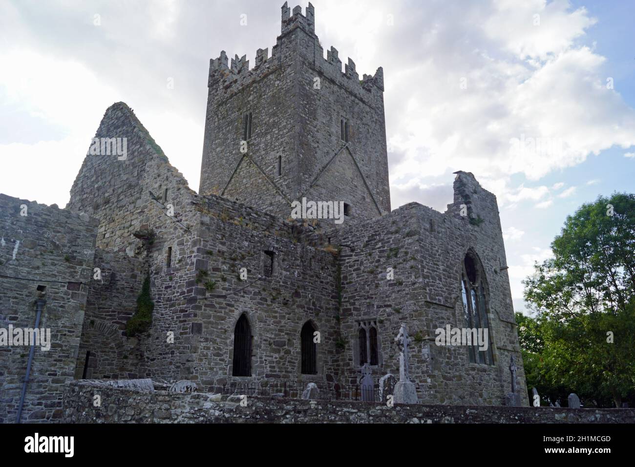
What is recorded here
A circular enclosure (diam. c. 34m) indicated on the 1st (1839) ed. OS 6-inch map and on the 1947 revision. Most of the E portion of the enclosure lies within a fallow rectangular area (dims. c. 36m NW-SE; c. 32m NE-SW). Satellite imagery (Apple Maps) shows the perimeter of the portion of the enclosure within the rectangular field as an upstanding bank while the W and N perimeter is visible as the cropmark of a fosse. Also visible to the NE and SW, though not from W-N-NE, is a possible outer fosse, c. 20m from the inner enclosing element, which suggests that this may be a concentric enclosure.
Compiled by: Jean Farrelly
Date of revised upload: 26 June 2023
A local fairy fort (ringfort/rath); wider significance not recorded.
The monument record does not grant public access. Check the route and ask the landowner before entering private land.
- What survives
- Recorded monument
Places near here
 Welsh'sForest · 155 yd
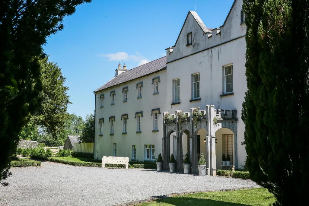 Enclosure in AnnamultEnclosure · 764 yd
 Tower (in ruins)Bawn · 1027 yd
 Annamult Castle (in ruins)Castle, tower house · 1068 yd
 Black WalnutBlack Walnut · 1361 yd
 Enclosure in Bennettsbridge (shillelogher By.)Enclosure · 1366 yd
 Burnchurch Housefarmyard complex · 1414 yd
 Danesfort Housefolly · 1608 yd
 Danesfort CrossMemorial · 1.3 mi
 Ballyda Holy WellSpring · 1.8 mi
 Time CapsuleMemorial · 1.9 mi
 O'Gorman's Lane LoopWalking route · 2.3 mi
Other information
Photo: Credit not shown in the picture search · Rights wording not checked; contact us if this picture should be removed