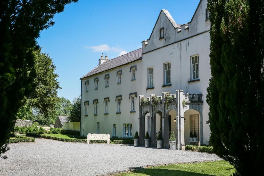
What is recorded here
A curvilinear enclosure (diam. c. 30m) identified as the cropmark of a fosse on an aerial photograph (GB89.S.30; 13 July 1989). A modern field boundary runs NE-SW across the S portion of the enclosure. There is well-defined N-facing entrance which appears to have a large post-hole on either side.
See attached:
KK023-118----_01 aerial photograph (GB89.S.30; 13 July 1989)
Compiled by: Jean Farrelly and Dr. Gillian Barrett for the Archaeological Survey of Ireland
Date of revised upload: 9 September 2021
The monument record does not grant public access. Check the route and ask the landowner before entering private land.
- What survives
- Recorded monument
Places near here
 Tower (in ruins)Bawn · 595 yd
 Welsh'sForest · 610 yd
 Annamult Castle (in ruins)Castle, tower house · 610 yd
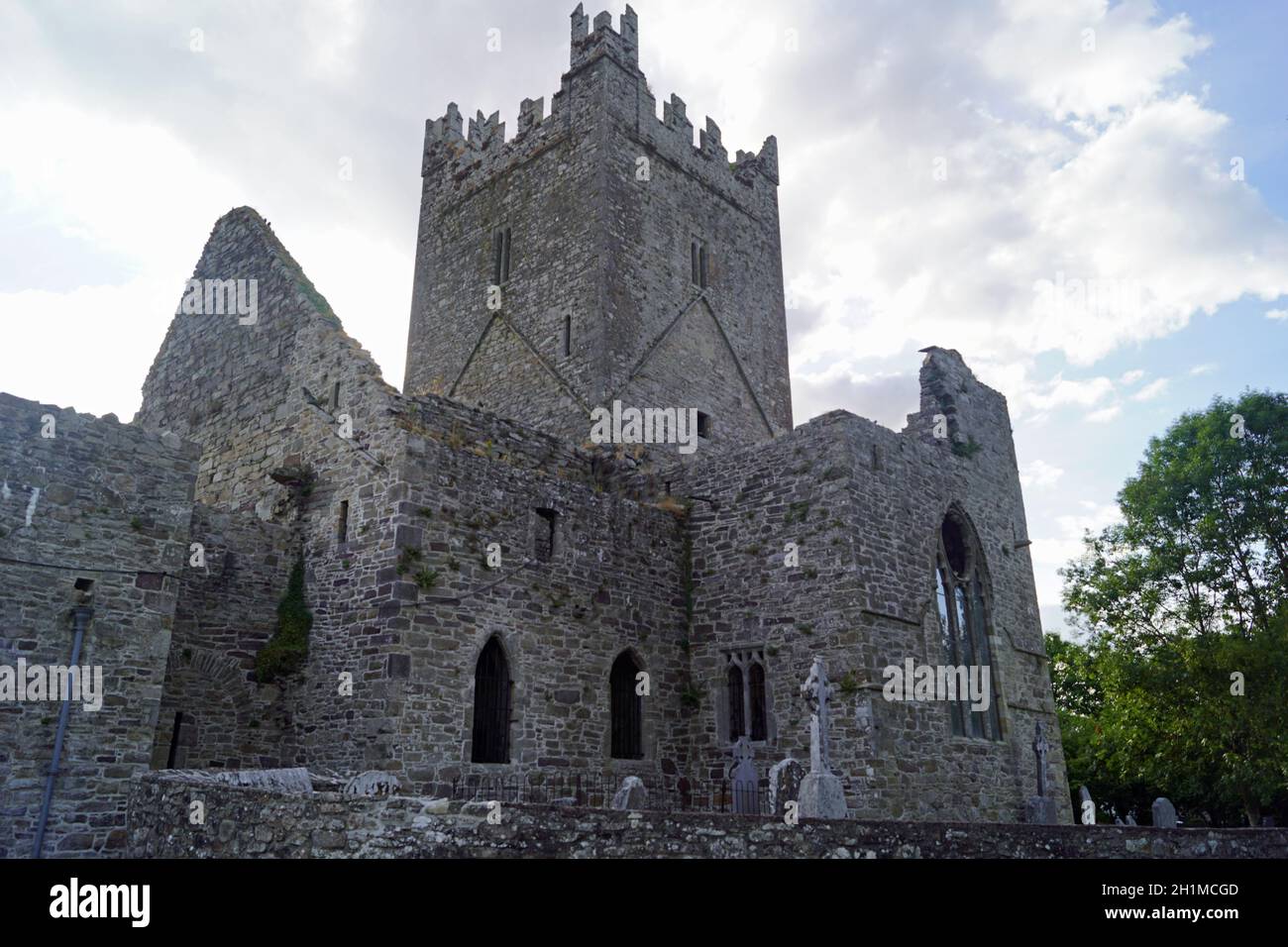 IndicatedConcentric enclosure · 764 yd
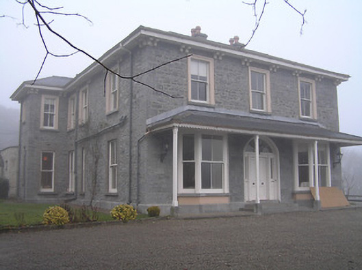 Crohana Housecountry house · 1529 yd
 Danesfort Housefolly · 1541 yd
 MarlowWood · 1743 yd
 Enclosure in EnnisnagEnclosure · 1.2 mi
 Danesfort CrossMemorial · 1.6 mi
 Ballyda Holy WellSpring · 1.8 mi
 Time CapsuleMemorial · 2.1 mi
 Kells Priory Mill MuseumMuseum · 3.1 mi
Other information
Photo: Credit not shown in the picture search · Rights wording not checked; contact us if this picture should be removed