What is recorded here
Located on a fairly level landscape. The cropmark of a circular enclosure (diam. c. 18m) defined by a single fosse feature is visible on aerial photographs (WX047-146_1 to _3). Enclosure (WX047-146001-) is c. 10m to the W.
Compiled by: Michael Moore
Date of upload: 14 October, 2013
The monument record does not grant public access. Check the route and ask the landowner before entering private land.
- What survives
- Recorded monument
Places near here
 Church (Site of)Church · 1142 yd
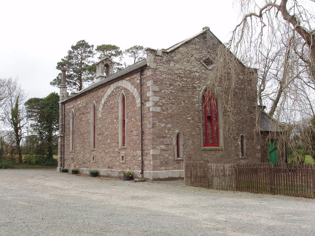 Church (in ruins)Church · 1254 yd
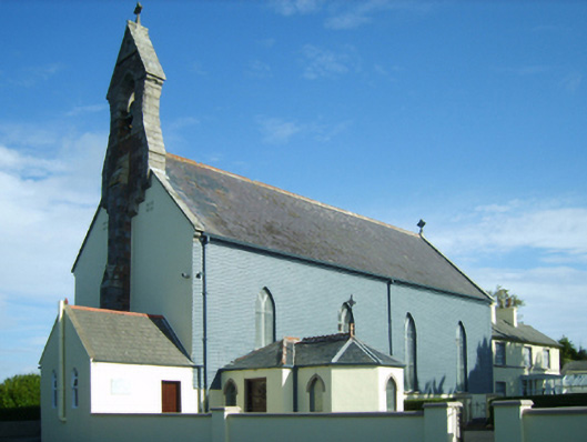 Catholic Church of Our Ladychurch/chapel · 1346 yd
 Site of R. C. ChapelChurch · 1740 yd
 Ballyrane Castle (in ruins)Castle, tower house · 1.1 mi
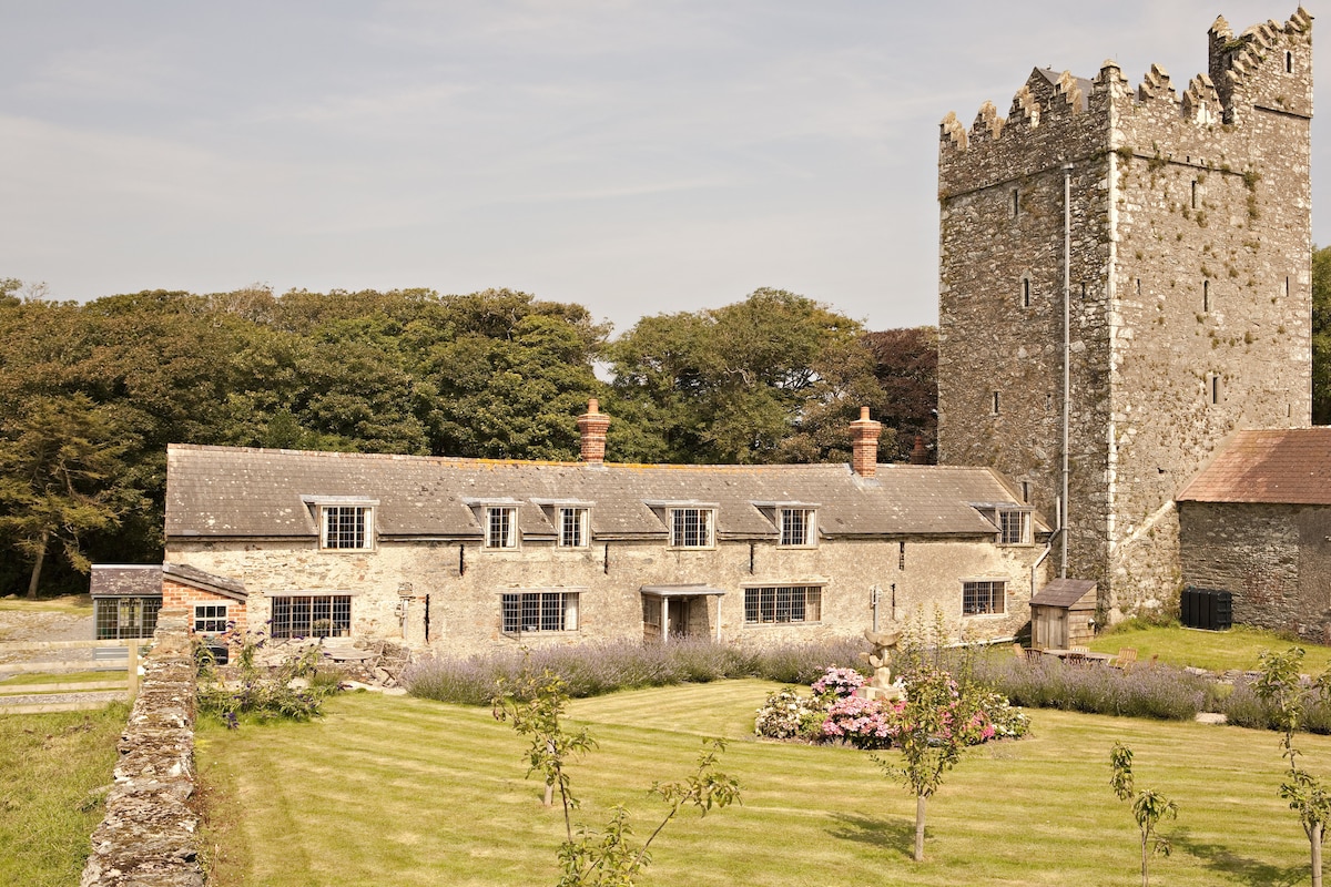 CastleCastle, tower house · 1.3 mi
 The Heron's MeadowForest · 1.8 mi
 The Bull RockForest · 1.9 mi
 The HamBay · 2.2 mi
 1798 Memorial PlaqueMemorial · 2.3 mi
 Sigginstown Island (Great)Island · 2.7 mi
 Sigginstown Island (Little)Islet · 2.9 mi