
What is recorded here
Marked only on 1940 ed. of the OS 6-inch map as it was known locally as the chapel field where ‘tiles’ had been discovered in ploughing (OSFM 1940). It is visible as a faint circular cropmark (diam. c. 40m) on aerial photographs (ASIAP, WX 71, 9-13), but it is not visible at ground level in a cereal crop. It is also faintly visible on Google Earth (2010). The crudely worked portion of what might be the stem of a font had been moved from the site to a location c. 350m to the NNE (WX048-020----), but this is now at Ballinacoola More, Curracloe (WX033-037----).
The above description is derived from the published 'Archaeological Inventory of County Wexford' (Dublin: Stationery Office, 1996). In certain instances the entries have been revised and updated in the light of recent research.
Compiled by: Michael Moore
Date of upload/revision: 7 January 2014
The monument record does not grant public access. Check the route and ask the landowner before entering private land.
- What survives
- Recorded monument
Places near here
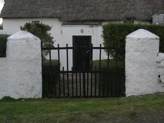 farm housefarm house · 988 yd
 Field system in Ballyboher,paradise LittleField system · 1001 yd
 Enclosure in Coddstown LittleEnclosure · 1024 yd
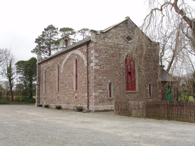 Church (in ruins)Church · 1201 yd
 Ballymacane CastleCastle, unclassified · 1.3 mi
 Wilson's MoorWood · 1.4 mi
 The HamBay · 1.6 mi
 Castle (in ruins)Castle, tower house · 1.7 mi
 The Heron's MeadowForest · 1.8 mi
 Sigginstown Island (Great)Island · 2.1 mi
 1798 Memorial PlaqueMemorial · 2.1 mi
 Sigginstown Island (Little)Islet · 2.2 mi
Other information
Photo: Credit not shown in the picture search · Rights wording not checked; contact us if this picture should be removed