What is recorded here
In pasture. A stream runs roughly E-W c. 120m to the N. Two circular ring-ditches (diam. c. 20m), both visible on satellite imagery (Google Earth, imagery date 23 January 2021), as the cropmark of a fosse, identified and reported by Jean-Charles Caillère. The westerly ring-ditch (TN036-060----) is c. 26m W of the other, similarly sized, ring-ditch (TN036-061----). There are faint traces of other possible curvilinear cropmarks of similar dimensions in the immediate vicinity, to the NW, SW and S of the most westerly ring-ditch.
See attached:
TN036-060----_01 Google Earth image (imagery date 23 January 2021)
Compiled by: Jean Farrelly
Date of upload: 25 May 2022
The monument record does not grant public access. Check the route and ask the landowner before entering private land.
- What survives
- Recorded monument
Places near here
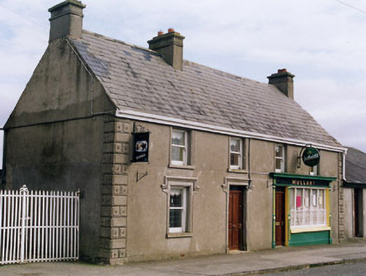 Mullanyhouse · 1357 yd
 Moyne Church (in Ruins)Church · 1393 yd
 Fulacht fia in CooleenyFulacht fia · 1688 yd
 PlatformPlatform, peatland · 1.1 mi
 Bawn in Castletown (moyne Par.)Bawn · 1.1 mi
 Castle (in Ruins)Bawn · 1.4 mi
 Tullow HillMountain / peak · 4.3 mi
 St. Mary's Famine and War MuseumMuseum · 6.0 mi
 Famine & War MuseumMuseum · 6.1 mi
 European ashEuropean ash · 6.1 mi
 Cnoc SeanrathaMemorial · 6.1 mi
 Byrnes's WoodsForest · 6.6 mi