What is recorded here
Aerial photograph (GB89.Q.01, July 1989) shows cropmark of small ring-ditch located within a curvilinear enclosure (KK010-151001-) attached to a small incomplete enclosure (KK010-151----). There is another enclosure (KK010-150----) c. 100m to the N and a number of other ring-ditches (KK010-153----; KK010-053001-; KK010-053002-; KK010-053003- and KK010-187----) and a field system (KK010-149----) in the immediate vicinity which have also been identified as cropmarks.
Compiled by: Dr. Gillian Barrett for the Archaeological Survey of Ireland and Jean Farrelly
Date of revised upload: 28 January 2019
The monument record does not grant public access. Check the route and ask the landowner before entering private land.
- What survives
- Recorded monument
Places near here
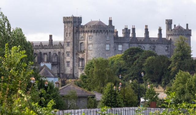 Enclosure in ConnahyEnclosure · 433 yd
 IndicatedEnclosure · 712 yd
 Foulksrath CastleCastle, tower house · 849 yd
 CastleCastle, unclassified · 1735 yd
 Church & Castle (in Ruins)Church · 1.1 mi
 Coolcraheen Church (in ruins)Church · 1.3 mi
 Donaghmore WellSpring · 1.8 mi
 Saint Coleman's WellSpring · 2.0 mi
 Jenkinstown ParkWood · 2.1 mi
 Graveyard in ThreecastlesGraveyard · 3.0 mi
 Turkey OakTurkey Oak · 3.2 mi
 Emma Jane Browne-ClaytonMemorial · 3.6 mi