
What is recorded here
In tillage. Aerial photograph (GB90.BN.03, 14 July 1990) shows cropmark of a rectangular enclosure (dims. NW-SE c. 29m at E end, widening to c. 33m at W end; c. 29m NE-SW) defined by a fosse and with traces of an outer fosse on the E side. The OSI orthophotos for 1995 and 2005 show an entrance facing SE. This enclosure is indicated on the 1st (1839) ed. OS 6-inch map as an irregular straight-side enclosure, with a field boundary running NE from the N end of the E side and SW from the N end of the W side, and another field boundary running S from the W end of the S side. The 1947 revision OS 6-inch map shows this feature as a more square in shape (dims. c. 27m NE-SW; c. 26m NW-SE) with the NE-SW field boundary running c. 5m N of the enclosure. The S field boundary is the same. Trees are depicted within the interior. All the associated field boundaries and the enclosure have been levelled.
Compiled by: Dr. Gillian Barrett for the Archaeological Survey of Ireland and Jean Farrelly
Date of revised upload: 29 January 2019
The monument record does not grant public access. Check the route and ask the landowner before entering private land.
- What survives
- Recorded monument
Places near here
 Enclosure in Foulksrath (fassadinin By.)Enclosure · 279 yd
 Foulksrath CastleCastle, tower house · 837 yd
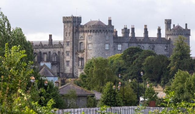 Enclosure in ConnahyEnclosure · 967 yd
 Coolcraheen Church (in ruins)Church · 1514 yd
 CastleCastle, unclassified · 1566 yd
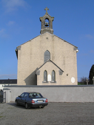 Saint Colman's Catholic Churchchurch/chapel · 1.0 mi
 Saint Coleman's WellSpring · 1.7 mi
 Donaghmore WellSpring · 1.8 mi
 Jenkinstown ParkWood · 1.9 mi
 Graveyard in ThreecastlesGraveyard · 3.0 mi
 Turkey OakTurkey Oak · 3.2 mi
 Emma Jane Browne-ClaytonMemorial · 4.0 mi
Other information
Photo: Credit not shown in the picture search · Rights wording not checked; contact us if this picture should be removed