What is recorded here
Situated on a localised rise in a fairly level landscape. Faint traces of a possible ring-ditch consisting of a circular area (diam. c. 10m) defined by a slight ditch are visible on two aerial images recorded from a drone-mounted camera. The survey was undertaken in an archaeological assessment of a new development. (Coen 2019, 11, figs 5, 6)
Compiled by: Michael Moore
Date of upload: 31 January 2020
The monument record does not grant public access. Check the route and ask the landowner before entering private land.
- What survives
- Recorded monument
Places near here
 Site of Old CastleCastle, unclassified · 244 yd
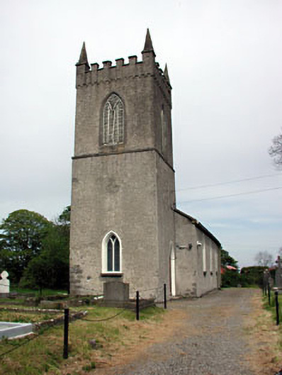 Saint Columba's Church (Colp)church/chapel · 266 yd
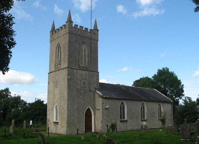 St. Columbas ChurchChurch · 271 yd
 Site of Colpa FortFairy fort / earthen ringfort · 279 yd
 Enclosure in Colp WestEnclosure · 306 yd
 RuinCastle, tower house · 1426 yd
 Beaulieu House and GardensHeritage attraction · 1.4 mi
 Battle of Julianstownbattle · 2.7 mi
 Newgrange Business ParkMemorial · 3.2 mi
 Yellow IslandIslet · 4.3 mi
 Grove IslandIslet · 4.6 mi
 Ben HeadCliff · 4.8 mi