What is recorded here
In flat terrain, land rises slightly to the NNE, under pasture. Field under tillage when ASIAP was taken. Identified as a ring-ditch on an aerial photograph taken in August 1996 (ASIAP (30) 6-10). There are lots of little hummocky tufts and subtle undulations in the area but the ring-ditch is not visible at ground level.
Compiled by: Jean Farrelly
Date of upload: 26 August 2011
The monument record does not grant public access. Check the route and ask the landowner before entering private land.
- What survives
- Recorded monument
Places near here
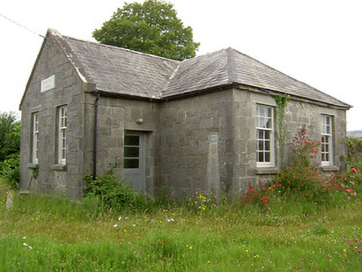 Garrycloher National Schoolschool · 850 yd
 Garrycloher WoodForest · 1502 yd
 Enclosure in LissavaEnclosure · 1.1 mi
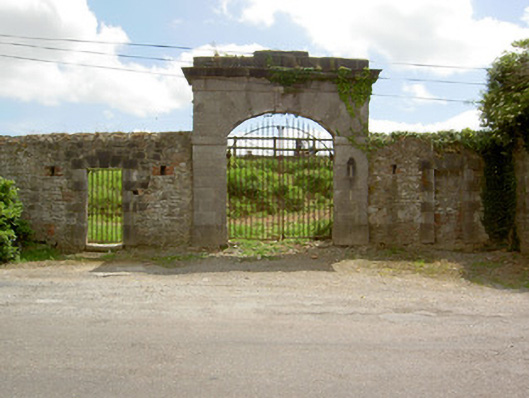 barracksbarracks · 1.1 mi
 Site of CastleCastle, unclassified · 1.4 mi
 Enclosure in Kilcommon More (south)Enclosure · 1.4 mi
 European YewEuropean Yew · 1.7 mi
 Cahir CastleHeritage attraction · 1.8 miSiege of Cahir Castlesiege · 1.8 mi
 Caher AbbeyHeritage attraction · 1.9 mi
 Slieveanard NE TopMountain / peak · 2.4 mi
 SlieveanardMountain / peak · 2.7 mi