What is recorded here
Situated on a level landscape. Archaeological testing (05E1303) identified two ring-ditches that are probably prehistoric hut-sites together with numerous pits, gullies and post-holes. Geophysical survey (06R108) over a wider area confirmed the identifications, and other pit features were recorded but a third possible ring-ditch identified in excavation was not detected. This ring-ditch (ext. diam. c. 12m) is defined by a slot-trench (Wth 0.5-0.75m) and has an opening (Wth 1.8m) at ESE. Ring-ditch (WX048-154002-) is c. 75m to the ESE and ring-ditch (WX048-154003-) is c. 75m to the SE. The area remains undeveloped. (McLoughlin 2006, 5; 2008)
Compiled by: Michael Moore
Date of upload: 6 January, 2014
The monument record does not grant public access. Check the route and ask the landowner before entering private land.
- What survives
- Recorded monument
Places near here
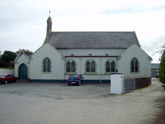 Saint Ruane's Catholic Churchchurch/chapel · 229 yd
 post boxpost box · 241 yd
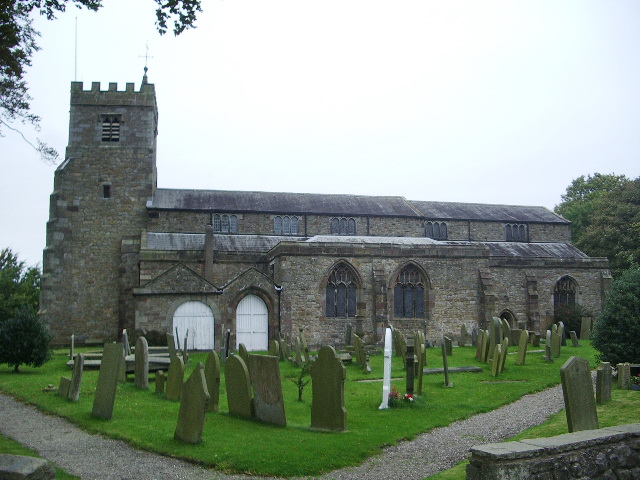 Church (Site of)Church · 253 yd
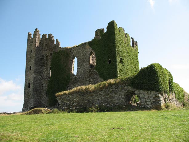 Site of CastleHouse, 17th century · 563 yd
 Rosslare Harbour Maritime Heritage CentreMuseum · 618 yd
 CastleCastle, tower house · 1075 yd
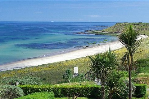 Moran's Bay PostVisitor information · 1.1 mi
 The Fairy Stone/RockNamed rock · 1.9 mi
 Birdlife of RosslareVisitor information · 2.3 mi
 Shernock Hill/Knocks HillMountain / peak · 2.5 mi
 TowerBawn · 2.6 mi
 Marconi HouseMemorial · 2.7 mi