What is recorded here
In pasture, on slight S facing slope. No surface remains visible of cropmark of possible ring-ditch identified on Bórd Gáis Éireann gas pipeline aerial photograph (BGE 1/10,000, No. 109).
See attached Bórd Gáis Éireann gas pipeline aerial photograph and Google Earth orthoimages
Compiled by: Caimin O'Brien
Date of upload: 26 October 2021
The monument record does not grant public access. Check the route and ask the landowner before entering private land.
- What survives
- Recorded monument
Places near here
 Geeragh Bridgebridge · 833 yd
 OutlinedHouse, vernacular house · 1251 yd
 Kilbeheny Castle (in ruins)Castle, tower house · 1.1 mi
 Enclosure in AnglesboroughEnclosure · 1.1 mi
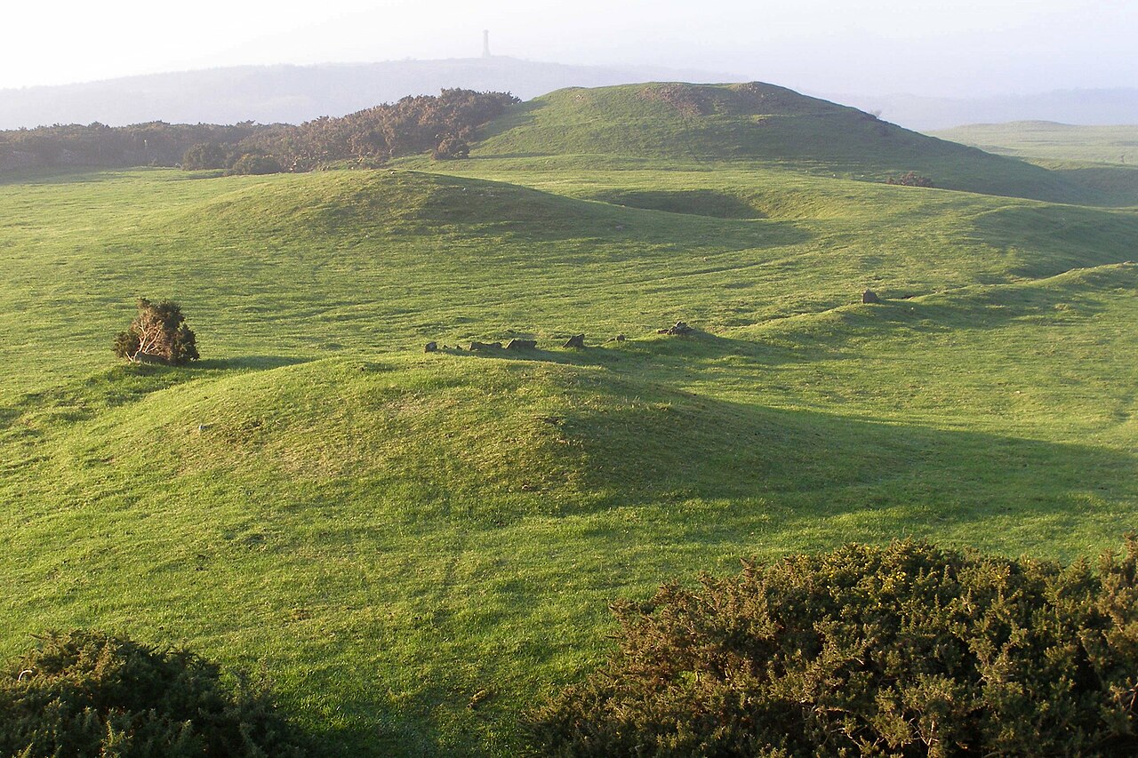 BarrowBarrow, mound barrow · 1.2 mi
 Combaun WoodsViewpoint · 1.8 mi
 Eagles StepCliff · 2.2 mi
 Ballyarthur HillMountain / peak · 2.6 mi
 White Knights Tower (Site of)Castle, unclassified · 2.8 mi
 John MandevilleMemorial · 2.9 mi
 Mitchelstown Town MapVisitor information · 2.9 mi
 Temple HillMountain / peak · 2.9 mi