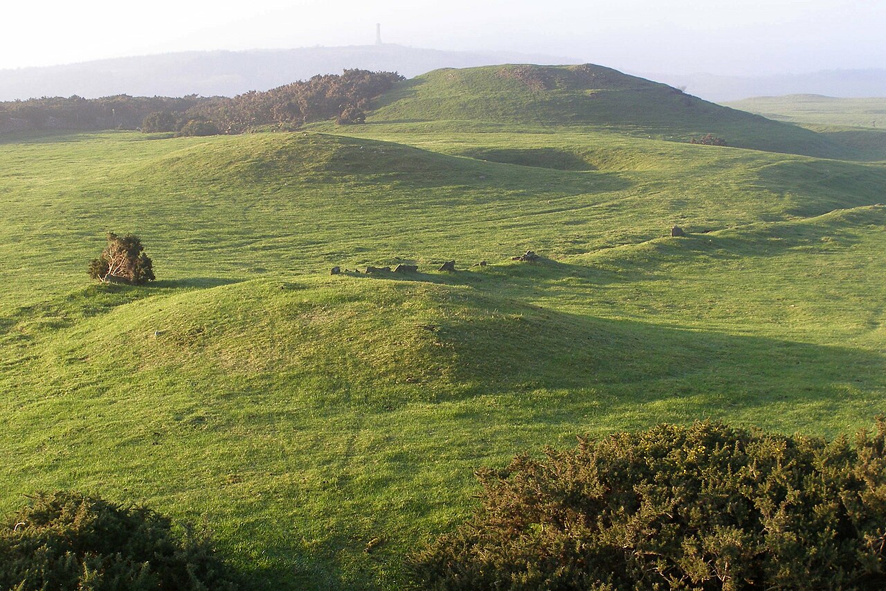
What is recorded here
In undulating wet pasture that has been reclaimed, on S facing slope with good views from NW to E. Remains consist of a slightly raised small sub-circular shaped area (diam. 4m N-S x 2.4m E-W) defined by a scarp with no trace of an enclosing fosse. Depicted as a small mound on Cassini ed. OSi 6-inch map. Not indicated on 1840 ed. OSi 6-inch map.
Compiled by: Caimin O’Brien
Date of upload: 20 October 2021
The monument record does not grant public access. Check the route and ask the landowner before entering private land.
- What survives
- Recorded monument
Places near here
 Kilbeheny Castle (in ruins)Castle, tower house · 237 yd
 KilnKiln, lime · 363 yd
 Burial GroundBurial ground · 1005 yd
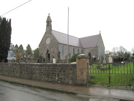 Saint Joseph's Catholic Churchchurch/chapel · 1407 yd
 Holy well in ChurchquarterHoly well · 1623 yd
 Eagles StepCliff · 2.2 mi
 Combaun WoodsViewpoint · 2.6 mi
 Coopers WoodWood · 2.7 mi
 John MandevilleMemorial · 3.2 mi
 Mitchelstown Town MapVisitor information · 3.3 mi
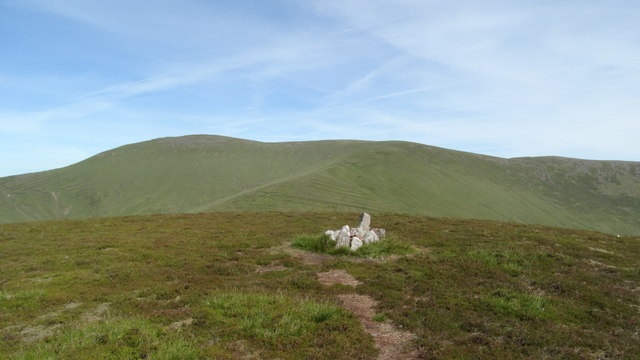 MonabrackMountain / peak · 3.3 mi
 Temple HillMountain / peak · 3.3 mi
Other information
Photo: Credit not shown in the picture search · Rights wording not checked; contact us if this picture should be removed