
What is recorded here
In pasture on NW facing slope. No surface remains visible. Annotated 'Lime Kiln' on 1897 ed. OSi 25-inch map.
See attached Google Earth orthoimages
Compiled by: Caimin O'Brien
Date of upload: 26 October 2021
The monument record does not grant public access. Check the route and ask the landowner before entering private land.
- What survives
- Recorded monument
Places near here
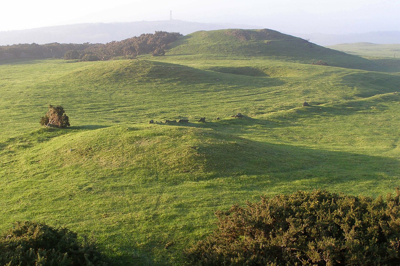 BarrowBarrow, mound barrow · 363 yd
 Kilbeheny Castle (in ruins)Castle, tower house · 598 yd
 Burial GroundBurial ground · 838 yd
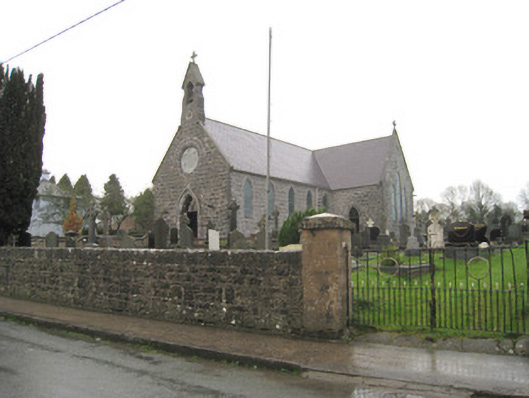 Saint Joseph's Catholic Churchchurch/chapel · 1226 yd
 Kilbeheny Church (in ruins)Church · 1472 yd
 Coopers WoodWood · 2.5 mi
 Combaun WoodsViewpoint · 2.7 mi
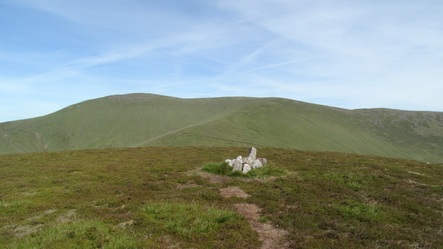 MonabrackMountain / peak · 3.2 mi
 Seefin North TopMountain / peak · 3.2 mi
 John MandevilleMemorial · 3.4 mi
 Mitchelstown Town MapVisitor information · 3.4 mi
 White Knights Tower (Site of)Castle, unclassified · 3.6 mi
Other information
Photo: Credit not shown in the picture search · Rights wording not checked; contact us if this picture should be removed