What is recorded here
Ring-ditch in Cakestown Glebe is a circular earthwork in County Meath, dated to the first centuries around the start of the common era through charred prunus remains. Its broad shallow ditch held cremated bone, copper fragments and flint, while hazel dominated the burnt plant remains beside two hut-sites and a structure. Post-medieval furrows later cut across the upper levels, suggesting the place was worked long after its oldest ritual or domestic use.
Located in a gently undulating landscape in the valley of the NW-SE River Blackwater, with a NW-SE section of the river c. 200m to the SW. Archaeological testing (04E0913) by J. Roynane (2005) at Testing Area 14 of Contract 4 of the M3 motorway (excavations.ie 2004:1345) identified archaeological material on the route of the N52 Kells link-road that was fully excavated (E003158) by P. Lynch (2010) in February - March 2007 as Cakestown Glebe 2 when 3325 square metres were opened. A ring-ditch, two hut-sites and a structure, together with evidence of Mesolithic habitation were recorded (excavations.ie 2007:1273). The upper levels of almost all features were cut by NE-SW post-medieval furrows.
Situated at the W edge of the excavated area and c. 25m WSW of the closest structure (1) was a ring-ditch consisting of a circular area (int. diam. 12.5m; ext. diam. 16.5m) defined by a continuous round-bottomed ditch (Wth c. 2m; D 0.7-1m) with a basal fill of grey stony clay beneath a loose stony mix with pebbles and sand. There were no internal features but a small quantity of cremated bone was recovered from the ditch at E. The ditch also produced two small fragments of copper alloy and four pieces of flint. Amongst the charred plant remains hazel was dominant followed by prunus, and two samples of the latter provided C14 dates of 380-110 cal. BC (SUERC 29337) and 28-128 cal. AD (UBA 12069). (Lynch 2010, 17-18)
See the attached site plan from Lynch (2011, fig. 5)
Compiled by: Michael Moore
Date of upload: 11 March 2022
The monument record does not grant public access. Check the route and ask the landowner before entering private land.
- What survives
- Recorded monument
Places near here
 Kells Anglers Association MemorialMemorial · 691 yd
 Black WoodWood · 780 yd
 Mabes Br.Bridge · 904 yd
 Standing StoneArchaeological place · 919 yd
 Fulacht fia in Archdeaconry GlebeFulacht fia · 979 yd
 Sweet ChestnutSweet Chestnut · 1120 yd
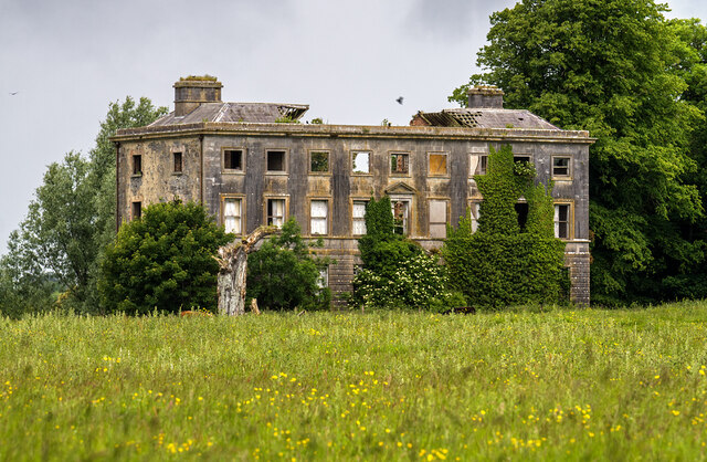 Williamstowncountry house · 1352 yd
 Headfort Grove 1976-2016Memorial · 1395 yd
 CastleCastle, unclassified · 1653 yd
 MountainpoleMountain / peak · 1.4 mi
 Castle ruinsCastle · 1.7 mi
 BalreaskMountain / peak · 1.8 mi