
What is recorded here
This bridge spans a NW-SE section of the River Blackwater. The bridge, known as Mabe’s Bridge, or Mapes or Malpas (Simington and O’Keefe 1991, 119) carries the R164 road from Kells to Moynalty and Kingscourt, Co. Cavan. It is depicted on the Down Survey (1656-8) county and barony maps, and its name derives from the Mape family who held land at Maperath in Moynalty parish into the seventeenth century (Simington 1940, 305). The bridge has six arches and was expanded in width twice, from the SE (Wth 2m), to the central (Wth 1.2m), and NW (Wth 3m) sections. The last expansion probably took place in 1803 when major works were undertaken (ibid.). The parapet is level and there are no refuges. Repairs to the bridge in 1988 allowed a thorough survey to be undertaken when it was found to be partly built on bedrock. The central portion was built partly on the cut-waters of the original bridge and the down-river arches lack dressed stonework (ibid. 120-1).
The above description is derived from the published 'Archaeological Inventory of County Meath' (Dublin: Stationery Office, 1987). In certain instances the entries have been revised and updated in the light of recent research.
Compiled by: Michael Moore
Date of revision: 12 April 2019
The monument record does not grant public access. Check the route and ask the landowner before entering private land.
- What survives
- Recorded monument
Places near here
 Kells Union Workshop, site ofArchaeological place · 911 yd
 Fulacht fia in Archdeaconry GlebeFulacht fia · 952 yd
 Black WoodWood · 1090 yd
 Kells Anglers Association MemorialMemorial · 1312 yd
 St. Columbs HouseChurch · 1488 yd
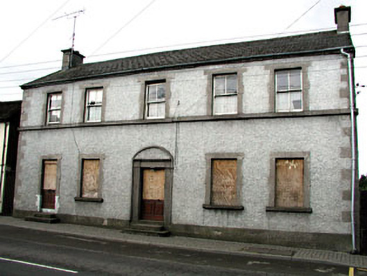 Maudlin Househouse · 1517 yd
 Headfort Grove 1976-2016Memorial · 1548 yd
 Sweet ChestnutSweet Chestnut · 1635 yd
 CastleCastle, unclassified · 1684 yd
 MountainpoleMountain / peak · 1.0 mi
 Castle ruinsCastle · 2.1 mi
 MaperathMountain / peak · 2.3 mi
Other information
Photo: Credit not shown in the picture search · Rights wording not checked; contact us if this picture should be removed