What is recorded here
Situated on Portmarknock Strand. A circular feature (diam. c. 15m) visible as a cropmark on an aerial photograph taken in 1971 (FSI 497/8). This has been built on. Not visible at ground level.
Compiled by: Geraldine Stout
Date of upload: 26 August 2011
The monument record does not grant public access. Check the route and ask the landowner before entering private land.
- What survives
- Recorded monument
Places near here
 The Southern Cross MonumentMonument · 180 yd
 Saint Marnock'scountry house · 231 yd
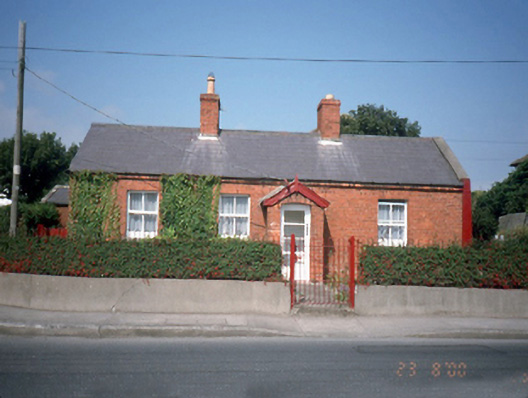 Saint Marnock's Cottagehouse · 461 yd
 IndicatedHoly well · 571 yd
 Black WoodWood · 1184 yd
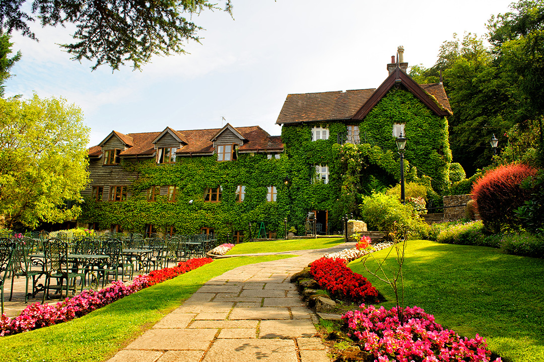 High RockViewpoint · 1287 yd
 MoatCastle, motte and bailey · 1619 yd
 Strand Mill RuinsRuins · 1.1 mi
 Portmarnock BeachBeach / strand · 1.1 mi
 Malahide BeachBeach / strand · 1.3 mi
 Malahide DemesneVisitor information · 1.6 mi
 Baldoyle Estuary Nature ReserveNature reserve · 1.7 mi