What is recorded here
Aerial photograph (GB96.FZ.07) shows cropmark of a ring-ditch, forming part of a group of five ring-ditches located in close proximity.
Compiled by: Dr. Gillian Barrett
Date of upload: 07 December 2011
The monument record does not grant public access. Check the route and ask the landowner before entering private land.
- What survives
- Recorded monument
Places near here
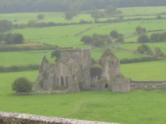 IndicatedFairy fort / earthen ringfort · 697 yd
 Shan RathArchaeological place · 699 yd
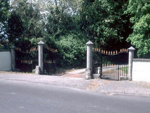 Shamrock Lodgedemesne walls/gates/railings · 1.1 mi
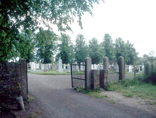 Saint Michael's New Cemeterygraveyard/cemetery · 1.1 mi
 Athy War MemorialMemorial · 1.2 mi
 Zoltan Zinn-Collis memorialMemorial · 1.2 mi
 Scots PineScots Pine · 1.5 mi
 Town HallMuseum · 1.5 mi
 CastleCastle, motte · 1.5 mi
 Whites [sic] Castle, Police BarrackCastle, tower house · 1.6 mi
 Ballycullane WoodForest · 2.0 mi
 History of Moat of ArdscullVisitor information · 2.9 mi