What is recorded here
In tillage. A small circular enclosure (diam. c. 15m) identified as a cropmark on an aerial photograph (ASIAP (110) 3, 22 July 2000). A cropmark of a field boundary runs roughly NE-SW through the S portion of the enclosure. A rectilinear enclosure (KK012-086----) is located c. 320m to the SW.
See attached photograph:
KK012-085----_01 ASIAP (110) 3, 22 July 2000
Compiled by: Jean Farrelly
Date of upload: 2 July 2019
The monument record does not grant public access. Check the route and ask the landowner before entering private land.
- What survives
- Recorded monument
Places near here
 Ardaneena Church (in ruins)Church · 387 yd
 Belle Vue Househouse · 1190 yd
 Enclosure in Donaghmore LowerEnclosure · 1367 yd
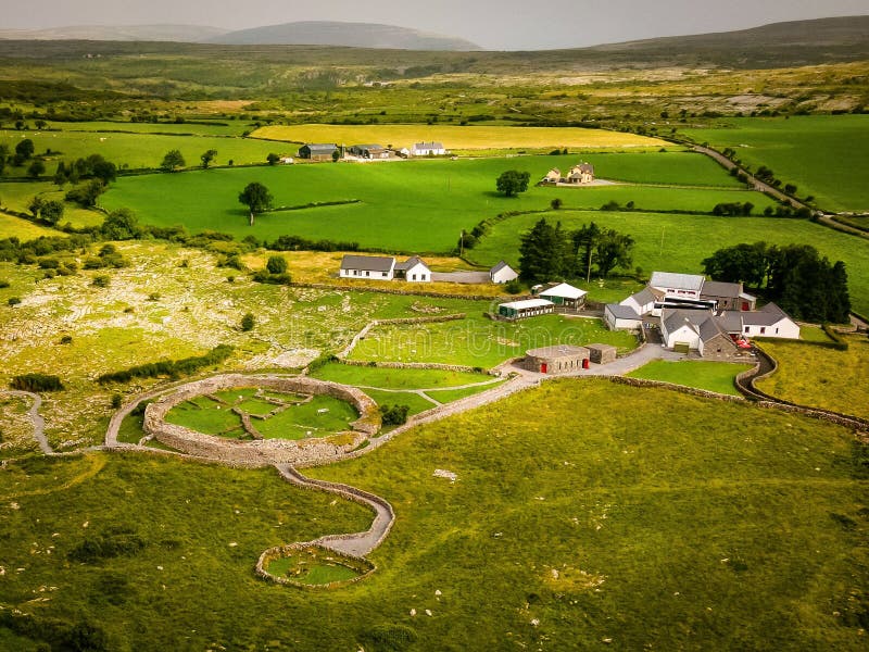 Borrismore Ringfort (Rath)Archaeological place · 1514 yd
 CastleCastle, tower house · 1618 yd
 Black CastleCastle, hall-house · 1.5 mi
 John HelyMemorial · 1.8 mi
 DelaneyMemorial · 1.9 mi
 Clomantagh HillMountain / peak · 2.0 mi
 Kildrinagh WoodForest · 3.1 mi
 Deerpark WoodWood · 4.3 mi
 Derrynaflan TrailHeritage attraction · 10.0 mi